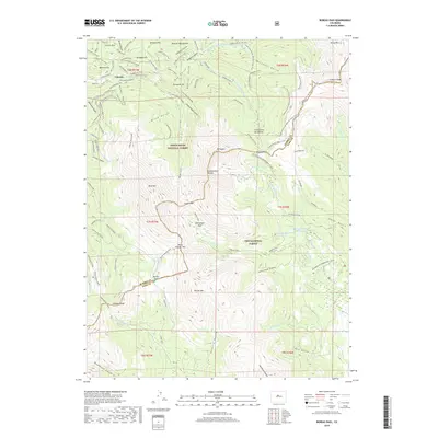
2019 Map of Boreas Pass
USGS Topo · Published 2019About this map
The high-altitude mining and transport corridors of Summit and Park counties are defined here by the Continental Divide. Historic routes like Boreas Pass Road and Georgia Pass reflect the era's vital connection between high-mountain settlements and the lower valleys. Mining heritage is etched into the landscape at Lincoln and across named slopes like Mineral Hill and Farncomb Hill.
Find a feature on this map
93 named features on this map. Tap any name to fly to it.
Don’t see what you’re looking for? This feature index may not catch every label — zoom into the map to look around manually.
Map Details
Editions of this 2019 Boreas Pass Map
This is the sole edition of this map. No revisions or reprints were ever made.
Other maps of this area

1889 · Leadville
USGS Topo · 1:125,000

1891 · Leadville
USGS Topo · 1:125,000

1924 · Montezuma
USGS Topo · 1:62,500

1926 · Montezuma
USGS Topo · 1:62,500

1929 · Dillon
USGS Topo · 1:62,500

1933 · Montezuma
USGS Topo · 1:62,500

1934 · Climax
USGS Topo · 1:48,000

1934 · Dillon
USGS Topo · 1:62,500

1937 · Como
USGS Topo · 1:62,500

1938 · Mt. Lincoln
USGS Topo · 1:48,000