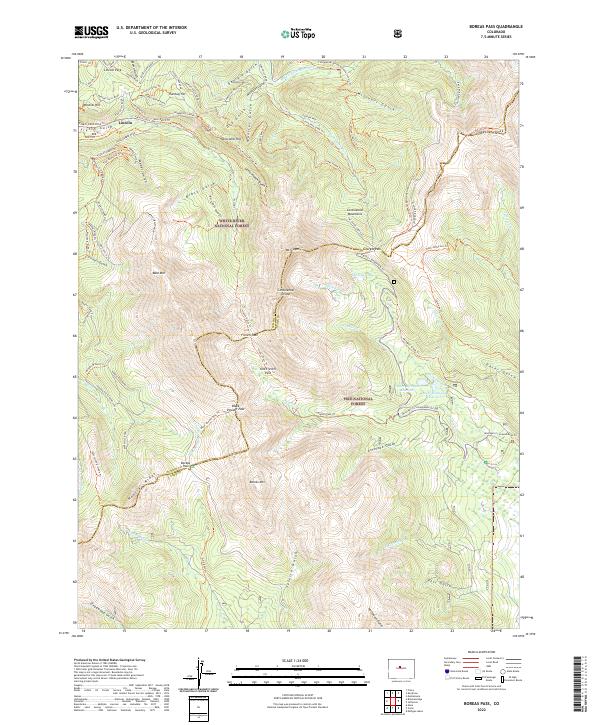
2022 Map of Boreas Pass
USGS Topo · Published 2022About this map
The Continental Divide bisects this high-elevation landscape, where the headwaters of Michigan Creek and the South Fork Swan River begin their descent toward opposite sides of the Rockies. The tiny settlement of Lincoln sits at the northwestern edge, surrounded by a complex network of mining-era landmarks like Mineral Hill and Humbug Hill. The area is defined by its historic transit corridors, notably the Boreas Pass Road which follows the winding ascent to Boreas Pass, a critical crossing point between Summit and Park counties. High-altitude peaks such as Mt Guyot and Glacier Peak tower over the White River National Forest and Pike National Forest. Evidence of a legacy of prospecting is found in the many named gulches like Georgia Gulch and American Gulch, while recreational trails such as the Illinois Gulch Road and B&B Trail trace the paths of old industrial routes through the timber.
Find a feature on this map
102 named features on this map. Tap any name to fly to it.
Don’t see what you’re looking for? This feature index may not catch every label — zoom into the map to look around manually.
Map Details
Editions of this 2022 Boreas Pass Map
This is the sole edition of this map. No revisions or reprints were ever made.
Other maps of this area

1889 · Leadville
USGS Topo · 1:125,000

1891 · Leadville
USGS Topo · 1:125,000

1924 · Montezuma
USGS Topo · 1:62,500

1926 · Montezuma
USGS Topo · 1:62,500

1929 · Dillon
USGS Topo · 1:62,500

1933 · Montezuma
USGS Topo · 1:62,500

1934 · Climax
USGS Topo · 1:48,000

1934 · Dillon
USGS Topo · 1:62,500

1937 · Como
USGS Topo · 1:62,500

1938 · Mt. Lincoln
USGS Topo · 1:48,000