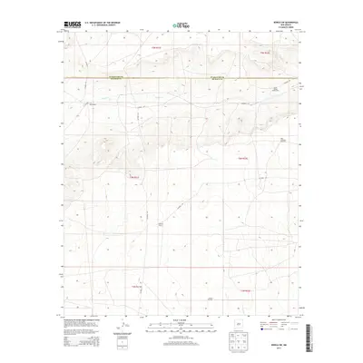
2013 Map of Borica SW
USGS Topo · Published 2013About this map
Good Ranch and Overton Ranch anchor this landscape along the border of Guadalupe and De Baca counties, where ranching operations depend on sparse water sources. The drainage of Salado Cr meanders across the northern sections, while the survival of the local cattle economy is evidenced by isolated landmarks such as the North Salado Windmill and the aptly named High Lonesome Windmill. A network of unpaved tracks, including Co Road 1-37 and Co Road 1-34, provides the only connection between these remote outposts. This 2013 survey illustrates a classic High Plains settlement pattern where vast grazing lands are partitioned by county lines and serviced by distributed wind-pumped wells like the Gillum Windmill.
Find a feature on this map
19 named features on this map. Tap any name to fly to it.
Don’t see what you’re looking for? This feature index may not catch every label — zoom into the map to look around manually.
Map Details
Editions of this 2013 Borica SW Map
This is the sole edition of this map. No revisions or reprints were ever made.
Other maps of this area

1954 · Fort Sumner
USGS Topo · 1:250,000

1958 · Fort Sumner
USGS Topo · 1:250,000

1966 · Ojo Negro Creek
USGS Topo · 1:24,000

1966 · Borica SW
USGS Topo · 1:24,000

1966 · Cooper Ranch
USGS Topo · 1:24,000

1966 · Yeso
USGS Topo · 1:24,000

1966 · Yeso NW
USGS Topo · 1:24,000

1966 · Borica
USGS Topo · 1:24,000

1978 · El Morro Ranch SE
USGS Topo · 1:24,000

1978 · Laguna De Los Terreros
USGS Topo · 1:24,000