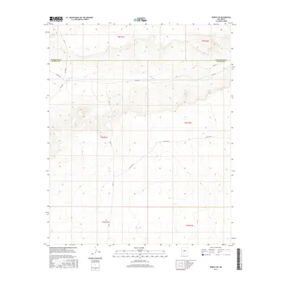
2017 Map of Borica SW
USGS Topo · Published 2017About this map
The ephemeral course of Salado Cr winds through this section of the New Mexico high plains, illustrating the drainage patterns of a landscape defined by its wide basins and sudden draws. Crossing the boundary between Guadalupe Co and De Baca Co, the map reveals a remote pastoral territory structured by long-distance ranching roads. Local routes such as Shady Rock Rd, Salado Rd, and Bullhide Rd follow the natural contours of the land, providing essential access through the varied townships of t4n r22e and t5n r21e. This 2017 survey by the U.S. Geological Survey provides a detailed topographic view of the subtle elevation changes and land divisions in a region where water sources and road networks dictate the footprint of human activity.
Find a feature on this map
15 named features on this map. Tap any name to fly to it.
Don’t see what you’re looking for? This feature index may not catch every label — zoom into the map to look around manually.
Map Details
Editions of this 2017 Borica SW Map
This is the sole edition of this map. No revisions or reprints were ever made.
Other maps of this area

1954 · Fort Sumner
USGS Topo · 1:250,000

1958 · Fort Sumner
USGS Topo · 1:250,000

1966 · Ojo Negro Creek
USGS Topo · 1:24,000

1966 · Borica SW
USGS Topo · 1:24,000

1966 · Cooper Ranch
USGS Topo · 1:24,000

1966 · Yeso
USGS Topo · 1:24,000

1966 · Yeso NW
USGS Topo · 1:24,000

1966 · Borica
USGS Topo · 1:24,000

1978 · El Morro Ranch SE
USGS Topo · 1:24,000

1978 · Laguna De Los Terreros
USGS Topo · 1:24,000