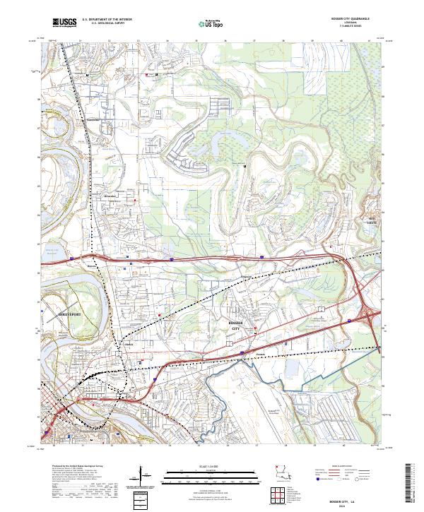
2024 Map of Bossier City
USGS Topo · Published 2024About this map
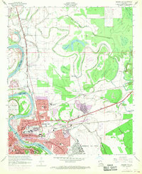
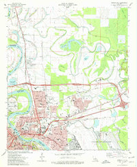
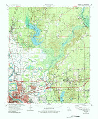
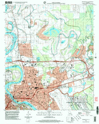
Bossier City and Shreveport dominate this modern landscape, separated by the winding Red River and connected by an extensive network of industrial and residential corridors. The map details the transition from the dense urban centers of Shreveport, where the Caddo Parish Courthouse stands, to the sprawling installations of Barksdale AFB and Barksdale Air Force Base. To the north, the geography shifts toward more open areas such as Vanceville and Brownlee, punctuated by significant water features including Swan Lake, Horseshoe Lake, and Benoit Bayou. Genealogists will find several burial grounds noted, such as Mount Zion Cem and the Swan Lake Cem, providing essential markers for family history research in both Caddo and Bossier Parishes. The eastern edge is defined by the marshy reaches of Alligator Bayou and Red Chute Bayou near Red Chute.
Find a feature on this map
254 named features on this map. Tap any name to fly to it.
Don’t see what you’re looking for? This feature index may not catch every label — zoom into the map to look around manually.
Map Details
Editions of this 2024 Bossier City Map
This is the sole edition of this map. No revisions or reprints were ever made.
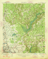
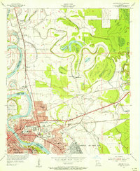
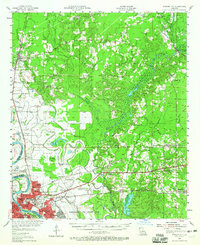
Historical Maps of Shreveport Through Time
8 maps found
Featured Locations
- Bossier City, LA
- Honore, LA
- Shreveport, LA
- Airline Park Estates, Bossier City
- Southern Terrace, Bossier City