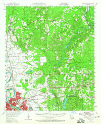
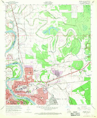
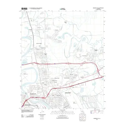
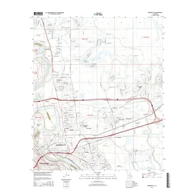
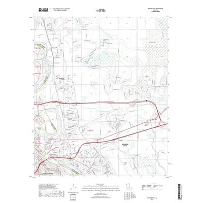
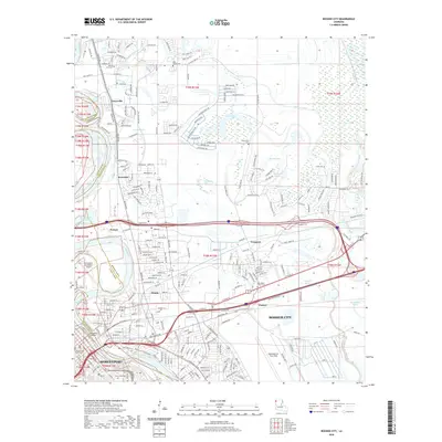
1955 Map of Bossier City
USGS Topo · Published 1965About this map
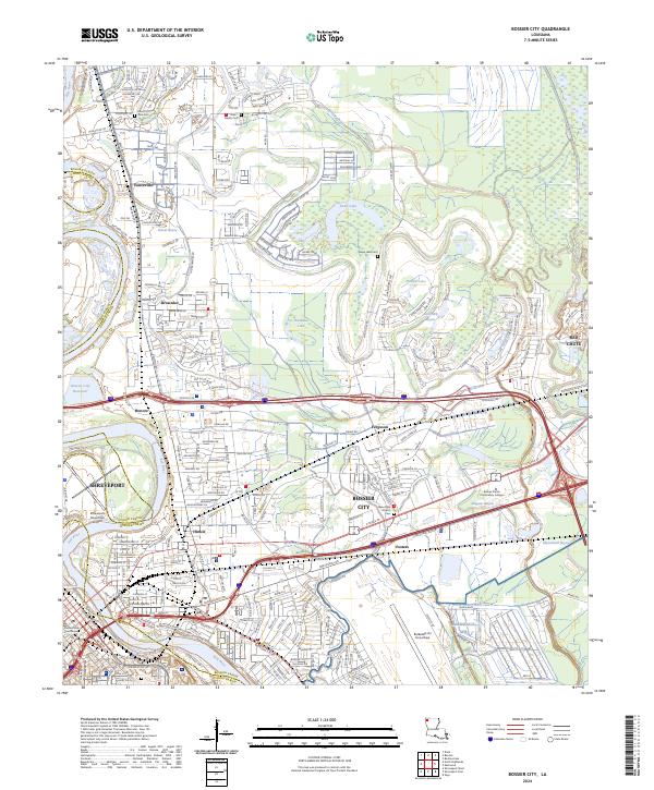
Bossier City and the expanding military footprint of Barksdale Air Force Base anchor this mid-century landscape along the Red River. The map reveals a complex network of bayous and former river channels, including Willow Chute and Flat River, which defined the local agriculture and drainage patterns before modern suburban growth. This era shows the convergence of several major rail lines like the Illinois Central RR and St Louis Southwestern RR, supporting the region's oil fields and lumber interests.
Find a feature on this map
77 named features on this map. Tap any name to fly to it.
Don’t see what you’re looking for? This feature index may not catch every label — zoom into the map to look around manually.
Map Details
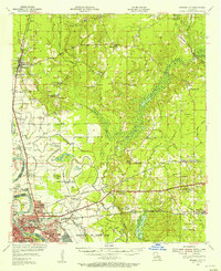
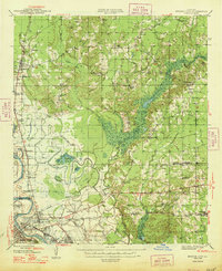
Editions of this 1955 Bossier City Map
2 editions found
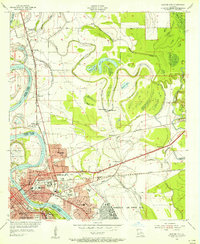
Historical Maps of Shreveport Through Time
12 maps found
1948 Bossier City
Bossier Parish, LA
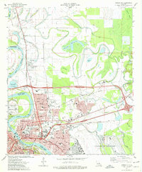
1955 Bossier City
Bossier Parish, LA
1955 Bossier City
Bossier Parish, LA
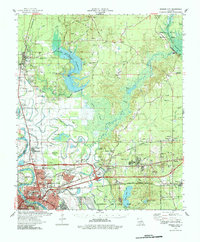
1960 Bossier City
Bossier Parish, LA
1975 Bossier City
Bossier Parish, LA
1978 Bossier City
Bossier Parish, LA
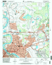
1998 Bossier City
Bossier Parish, LA
2012 Bossier City
Bossier Parish, LA
2015 Bossier City
Bossier Parish, LA
2018 Bossier City
Bossier Parish, LA
2020 Bossier City
Bossier Parish, LA
2024 Bossier City
Bossier Parish, LA