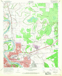
1960 Map of Bossier City
USGS Topo · Published 1969About this map
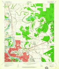
The Red River creates a meandering border between Caddo and Bossier Parishes, shaping the development of Shreveport and Bossier City during the mid-20th century. This 1960 revision, featuring purple-tinted urban extensions from 1969, illustrates a landscape in transition as residential growth pushes north and east into former bayou lands. The infrastructure of the era is defined by the St Louis Southwestern and Kansas City Southern railroads, which intersect the urban grid near the Downtown Airport and several neighborhood institutions like Mitchell High Sch and Rusheon Jr High Sch.
Find a feature on this map
62 named features on this map. Tap any name to fly to it.
Don’t see what you’re looking for? This feature index may not catch every label — zoom into the map to look around manually.
Map Details
Editions of this 1960 Bossier City Map
2 editions found
Other maps of this area

1932 · Bossier SE
USGS Topo · 1:31,680

1932 · Bossier NE
USGS Topo · 1:31,680

1932 · Bossier SW
USGS Topo · 1:31,680

1932 · Shreveport SE
USGS Topo · 1:31,680

1932 · Bossier NW
USGS Topo · 1:31,680

1932 · Shreveport NE
USGS Topo · 1:31,680

1938 · Arnsberg
USGS Topo · 1:31,680

1941 · Forbing
USGS Topo · 1:31,680

1945 · Greenwood
USGS Topo · 1:62,500

1948 · Mooringsport
USGS Topo · 1:62,500