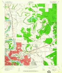
1960 Map of Bossier City
USGS Topo · Published 1960About this map
Bossier City and Shreveport dominate the landscape in this 1960 revision, separated by the winding course of the Red River. The map captures a moment of significant mid-century suburban expansion, particularly visible in the development patterns around Hinkle and Ferguson. Educational infrastructure is well-documented through numerous facilities like Plantation Park Sch and Rusheon Jr High Sch, while the massive footprint of Barksdale Air Force Base anchor the southeastern corner.
Find a feature on this map
44 named features on this map. Tap any name to fly to it.
Don’t see what you’re looking for? This feature index may not catch every label — zoom into the map to look around manually.
Map Details
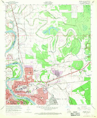
Editions of this 1960 Bossier City Map
2 editions found
Other maps of this area

1932 · Bossier SE
USGS Topo · 1:31,680

1932 · Bossier NE
USGS Topo · 1:31,680

1932 · Bossier SW
USGS Topo · 1:31,680

1932 · Shreveport SE
USGS Topo · 1:31,680

1932 · Bossier NW
USGS Topo · 1:31,680

1932 · Shreveport NE
USGS Topo · 1:31,680

1938 · Arnsberg
USGS Topo · 1:31,680

1941 · Forbing
USGS Topo · 1:31,680

1945 · Greenwood
USGS Topo · 1:62,500

1948 · Mooringsport
USGS Topo · 1:62,500