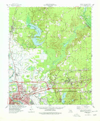
1978 Map of Bossier City
USGS Topo · Published 1978About this map
Bossier City serves as the focal point of this late 1970s survey, illustrating a period of significant suburban expansion and industrial development along the Red River. The landscape is dominated by the sprawling presence of Barksdale Air Force Base and the newly developed horse racing facilities at Louisiana Downs. North of the city, the newly created Cypress Bayou Reservoir and Bodcau State Wildlife Area Reservoir have altered the traditional drainage patterns of Cypress Bayou and Bodcau Bayou, reflecting a modern shift toward water management and recreation.
Find a feature on this map
80 named features on this map. Tap any name to fly to it.
Don’t see what you’re looking for? This feature index may not catch every label — zoom into the map to look around manually.
Map Details
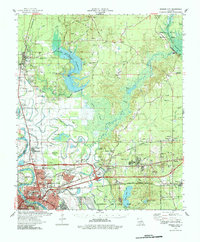
Editions of this 1978 Bossier City Map
2 editions found
Other maps of this area

1922 · Sarepta
USGS Topo · 1:62,500

1924 · Sarepta
USGS Topo · 1:62,500

1932 · Bossier SE
USGS Topo · 1:31,680

1932 · Bossier NE
USGS Topo · 1:31,680

1932 · Bossier SW
USGS Topo · 1:31,680

1932 · Shreveport SE
USGS Topo · 1:31,680

1932 · Hosston SE
USGS Topo · 1:31,680

1932 · Bossier NW
USGS Topo · 1:31,680

1932 · Shreveport NE
USGS Topo · 1:31,680

1938 · Arnsberg
USGS Topo · 1:31,680