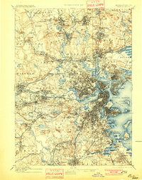
1893 Map of Boston
USGS Topo · Published 1901About this map
The Charles River basin and the bustling maritime corridors of Boston Harbor anchor this late 19th-century reconnaissance of the Massachusetts capital and its inner suburbs. The landscape is heavily defined by defense and institutional presence, featuring Fort Winthrop on Governors Island, Fort Independence on Castle Island, and the sprawling Navy Yard in Charlestown. Further inland, the U.S. Arsenal in Watertown and the U.S. Marine Hospital in Everett highlight the area's strategic national role.
Find a feature on this map
189 named features on this map. Tap any name to fly to it.
Don’t see what you’re looking for? This feature index may not catch every label — zoom into the map to look around manually.
Map Details
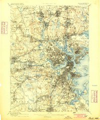
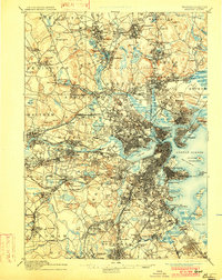
Editions of this 1893 Boston Map
4 editions found

Other maps of this area

1885 · Abington
USGS Topo · 1:62,500

1886 · Lawrence
USGS Topo · 1:62,500

1886 · Dedham
USGS Topo · 1:62,500

1886 · Lowell
USGS Topo · 1:62,500

1886 · Framingham
USGS Topo · 1:62,500

1887 · Franklin
USGS Topo · 1:62,500

1888 · Lawrence
USGS Topo · 1:62,500

1888 · Salem
USGS Topo · 1:62,500

1888 · Abington
USGS Topo · 1:62,500

1889 · Franklin
USGS Topo · 1:62,500