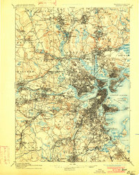
1893 Map of Boston
USGS Topo · Published 1902About this map
The dense industrial and rail-connected landscape of eastern Massachusetts is meticulously documented in this 1893 survey. Centered on Boston Harbor, the map reveals a city defined by its waterfront fortifications and maritime infrastructure, including Fort Winthrop and the massive Navy Yard at Charlestown. The intricate railway network radiates from the urban core, featuring lines like the Boston and Albany Railroad and the Newton Circuit, which fostered the rapid development of inner-ring suburbs such as Brookline and Somerville.
Find a feature on this map
188 named features on this map. Tap any name to fly to it.
Don’t see what you’re looking for? This feature index may not catch every label — zoom into the map to look around manually.
Map Details
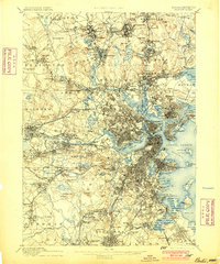
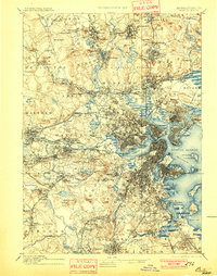
Editions of this 1893 Boston Map
4 editions found

Other maps of this area

1885 · Abington
USGS Topo · 1:62,500

1886 · Lawrence
USGS Topo · 1:62,500

1886 · Dedham
USGS Topo · 1:62,500

1886 · Lowell
USGS Topo · 1:62,500

1886 · Framingham
USGS Topo · 1:62,500

1887 · Franklin
USGS Topo · 1:62,500

1888 · Lawrence
USGS Topo · 1:62,500

1888 · Salem
USGS Topo · 1:62,500

1888 · Abington
USGS Topo · 1:62,500

1889 · Franklin
USGS Topo · 1:62,500