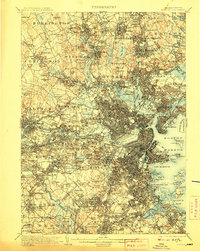
1903 Map of Boston
USGS Topo · Published 1907About this map
The Middlesex Fells and the winding Mystic River define the northern approach to the Boston harbor in this late-Victorian era topographic study. The landscape is a dense network of suburban growth and institutional landmarks, from the campus of Tufts College to the historic Navy Yard and U. S. Marine Hospital overlooking the water. In the south, the Arnold Arboretum and Stony Brook Reservation provide significant green space amidst the expanding residential districts of South Boston and Hyde Park. A complex web of rail lines, including the Fitchburg Division and Boston and Maine R. R., radiates from the city center, illustrating how transit infrastructure enabled the development of family-named heights like Loring Hill and Waban Hill. The map also captures the harbor's military presence at Ft. Winthrop and Ft. Independence before modern coastal alterations.
Find a feature on this map
203 named features on this map. Tap any name to fly to it.
Don’t see what you’re looking for? This feature index may not catch every label — zoom into the map to look around manually.
Map Details
Editions of this 1903 Boston Map
13 editions found

1903 edition
15.8 x 19.9 inches
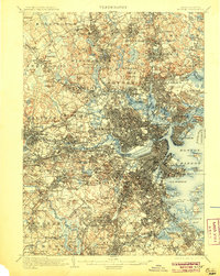
1905 edition
15.8 x 19.8 inches
1907 edition
15.8 x 19.8 inches
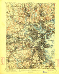
1909 edition
15.8 x 19.8 inches
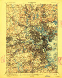
1910 edition
15.8 x 19.8 inches
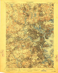
1912 edition
15.8 x 19.8 inches
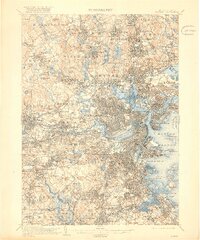
1918 edition
16.59 x 19.91 inches
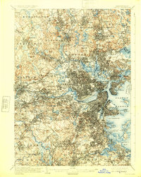
1925 edition
15.8 x 19.8 inches
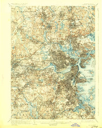
1928 edition
15.8 x 19.8 inches
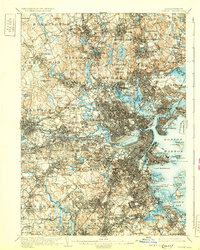
1931 edition
15.8 x 19.7 inches
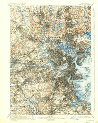
1931 edition
15.8 x 19.8 inches
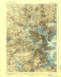
1939 edition
15.8 x 19.8 inches
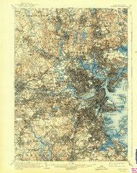
1942 edition
15.8 x 19.8 inches
Other maps of this area

1885 · Abington
USGS Topo · 1:62,500

1886 · Lawrence
USGS Topo · 1:62,500

1886 · Dedham
USGS Topo · 1:62,500

1886 · Lowell
USGS Topo · 1:62,500

1886 · Framingham
USGS Topo · 1:62,500

1887 · Franklin
USGS Topo · 1:62,500

1888 · Lawrence
USGS Topo · 1:62,500

1888 · Salem
USGS Topo · 1:62,500

1888 · Abington
USGS Topo · 1:62,500

1889 · Franklin
USGS Topo · 1:62,500