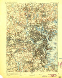
1903 Map of Boston
USGS Topo · Published 1905About this map
The industrial and urban heart of eastern Massachusetts is meticulously detailed in this early twentieth-century survey. Boston and its surrounding municipalities, including Cambridge, Somerville, and Newton, appear at a height of rail-integrated expansion. The Charles River and Mystic River are flanked by dense development, though vast public spaces like the Arnold Arboretum and Middlesex Fells preserve significant natural acreage. The waterfront is a hive of activity, showcasing the Navy Yard and U.S. Marine Hospital, while military defenses such as Ft. Winthrop and Ft. Independence guard the harbor entrance.
Find a feature on this map
174 named features on this map. Tap any name to fly to it.
Don’t see what you’re looking for? This feature index may not catch every label — zoom into the map to look around manually.
Map Details
Editions of this 1903 Boston Map
13 editions found

1903 edition
15.8 x 19.9 inches
1905 edition
15.8 x 19.8 inches
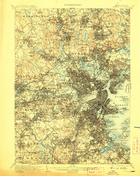
1907 edition
15.8 x 19.8 inches
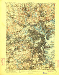
1909 edition
15.8 x 19.8 inches
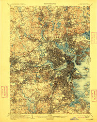
1910 edition
15.8 x 19.8 inches
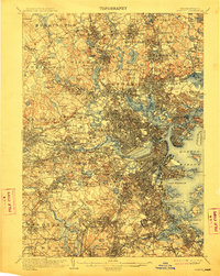
1912 edition
15.8 x 19.8 inches
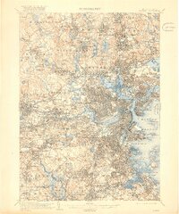
1918 edition
16.59 x 19.91 inches
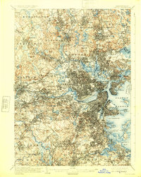
1925 edition
15.8 x 19.8 inches
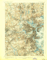
1928 edition
15.8 x 19.8 inches
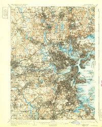
1931 edition
15.8 x 19.7 inches
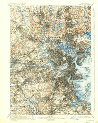
1931 edition
15.8 x 19.8 inches
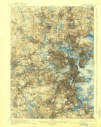
1939 edition
15.8 x 19.8 inches
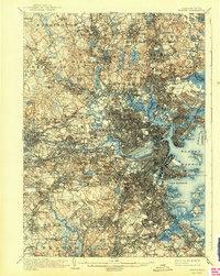
1942 edition
15.8 x 19.8 inches
Other maps of this area

1885 · Abington
USGS Topo · 1:62,500

1886 · Lawrence
USGS Topo · 1:62,500

1886 · Dedham
USGS Topo · 1:62,500

1886 · Lowell
USGS Topo · 1:62,500

1886 · Framingham
USGS Topo · 1:62,500

1887 · Franklin
USGS Topo · 1:62,500

1888 · Lawrence
USGS Topo · 1:62,500

1888 · Salem
USGS Topo · 1:62,500

1888 · Abington
USGS Topo · 1:62,500

1889 · Franklin
USGS Topo · 1:62,500