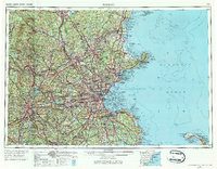
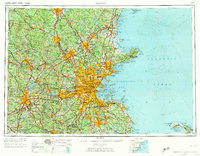
1956 Map of Boston
USGS Topo · Published 1984About this map
The industrial and transit hub of Boston anchors this mid-century survey, radiating outward through the complex urban corridors of Cambridge, Somerville, and Newton. This landscape is defined by the dense convergence of three major rail lines—the Boston and Maine RR, the New York New Haven and Hartford RR, and the Boston and Albany RR—which once facilitated the region's massive manufacturing output. Northward, the Merrimack River flows through the historic textile centers of Lawrence and Lowell, while the Nashua River and Concord River drain the rolling interior.
Find a feature on this map
146 named features on this map. Tap any name to fly to it.
Don’t see what you’re looking for? This feature index may not catch every label — zoom into the map to look around manually.
Map Details
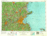
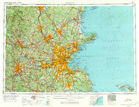
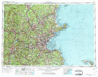
Editions of this 1956 Boston Map
6 editions found

Other maps of this area

1885 · Abington
USGS Topo · 1:62,500

1885 · Duxbury
USGS Topo · 1:62,500

1885 · Worcester
USGS Topo · 1:62,500

1885 · Middleboro
USGS Topo · 1:62,500

1885 · Taunton
USGS Topo · 1:62,500

1886 · Gloucester
USGS Topo · 1:62,500

1886 · Lawrence
USGS Topo · 1:62,500

1886 · Worcester
USGS Topo · 1:62,500

1886 · Blackstone
USGS Topo · 1:62,500

1886 · Plymouth
USGS Topo · 1:62,500