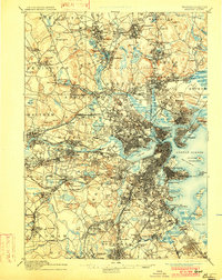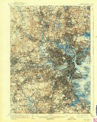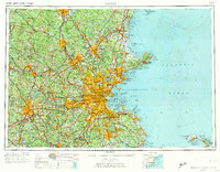
1956 Map of Boston
USGS Topo · Published 1974About this map
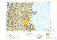
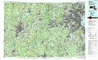
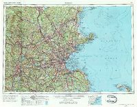
Boston and the surrounding urban corridor of Eastern Massachusetts are captured in high detail at the height of the mid-century expansion. The map illustrates a densely settled landscape defined by the convergence of major transit arteries, including the newly established Route 128 beltway and the historic Boston and Maine Railroad. Coastal features from the northern tip of Ipswich Bay down to the Cape Cod National Seashore highlight the region's geographic relationship with the Atlantic Ocean, while inland, the engineering of the Wachusett Reservoir and Quabbin Reservoir points to the infrastructure required to support the growing metropolitan centers. This 1:250,000 scale survey by the U.S. Army Topographic Command provides a regional perspective on the industrial and residential growth spreading from Lowell, Lawrence, and Worcester toward the suburban periphery.
Find a feature on this map
67 named features on this map. Tap any name to fly to it.
Don’t see what you’re looking for? This feature index may not catch every label — zoom into the map to look around manually.
Map Details
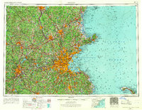
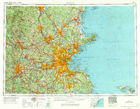
Editions of this 1956 Boston Map
6 editions found

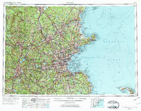
Historical Maps of Boston Through Time
9 maps found