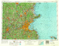
1956 Map of Boston
USGS Topo · Published 1967About this map
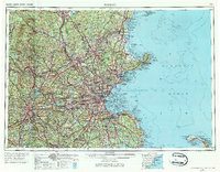
Boston and its sprawling coastal suburbs anchor this mid-century regional survey, showing a landscape defined by rapid post-war suburbanization and the maturing of its highway network. The beltway around the metropolitan core is already established, linking industrial centers like Lawrence, Lowell, and Lynn. Beyond the urban density, the map captures the vast protected lands and waterways that sustain the region, from the Wachusett Reservoir in the west to the newly established Cape Cod National Seashore at the southeastern edge. Significant transit corridors like the Boston and Maine and New York New Haven and Hartford railroads are shown alongside the rising dominance of federal and state routes. Along the coast, maritime heritage is visible in the detailed labeling of Gloucester Harbor, Salem Harbor, and the various islands of Massachusetts Bay.
Find a feature on this map
65 named features on this map. Tap any name to fly to it.
Don’t see what you’re looking for? This feature index may not catch every label — zoom into the map to look around manually.
Map Details
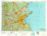
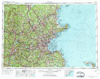
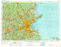
Editions of this 1956 Boston Map
6 editions found

Other maps of this area

1885 · Abington
USGS Topo · 1:62,500

1885 · Duxbury
USGS Topo · 1:62,500

1885 · Worcester
USGS Topo · 1:62,500

1885 · Middleboro
USGS Topo · 1:62,500

1885 · Taunton
USGS Topo · 1:62,500

1886 · Gloucester
USGS Topo · 1:62,500

1886 · Lawrence
USGS Topo · 1:62,500

1886 · Worcester
USGS Topo · 1:62,500

1886 · Blackstone
USGS Topo · 1:62,500

1886 · Plymouth
USGS Topo · 1:62,500