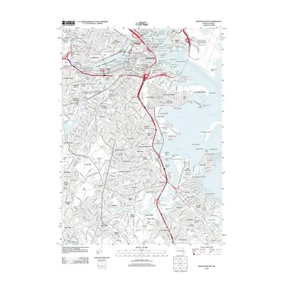
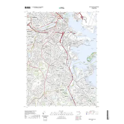
1946 Map of Boston South
USGS Topo · Published 1950About this map
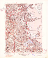
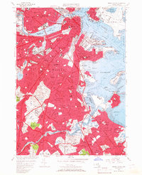
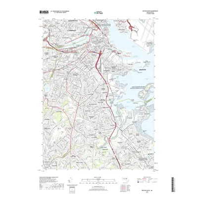
Beacon Hill and the historic core of the city overlook the Charles River Basin in this 1940s landscape, which illustrates the dense urban expansion before the interstate era. The map details the intricate educational and medical infrastructure of the day, from Harvard University and the Mass Institute of Technology in the north to the Boston State Hospital complex further south. These institutions are surrounded by a tapestry of distinct neighborhoods such as Roxbury Crossing, Jamaica Plain, and Dorchester Center, each connected by a heavy network of roads like Blue Hill Ave and the New York New Haven and Hartford railroad lines. Along the coast, the industrial and military presence is evident at the U S Naval Reservation and Logan International Airport, while the expansive Forest Hills Cem and Franklin Park provide significant green spaces amidst the growing residential blocks.
Find a feature on this map
140 named features on this map. Tap any name to fly to it.
Don’t see what you’re looking for? This feature index may not catch every label — zoom into the map to look around manually.
Map Details
Editions of this 1946 Boston South Map
3 editions found
Historical Maps of Boston Through Time
25 maps found

1944 Boston South
Suffolk County, MA

1944 Hull
Suffolk County, MA
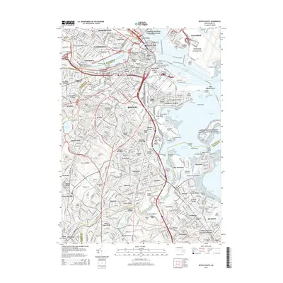
1946 Boston South
Suffolk County, MA
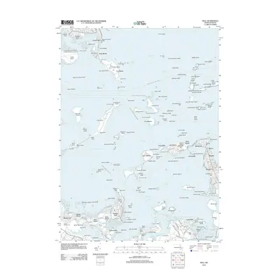
1946 Hull
Suffolk County, MA

1948 Hull
Suffolk County, MA

1949 Hull
Suffolk County, MA

1954 Boston South
Suffolk County, MA
1956 Boston South
Suffolk County, MA

1958 Hull
Suffolk County, MA
1970 Boston South
Suffolk County, MA
1971 Hull
Suffolk County, MA

1977 Boston South
Suffolk County, MA

1977 Hull
Suffolk County, MA
1987 Boston South
Suffolk County, MA
2012 Boston South
Suffolk County, MA
2012 Hull
Suffolk County, MA
2015 Boston South
Suffolk County, MA
2015 Hull
Suffolk County, MA
2018 Boston South
Suffolk County, MA
2018 Hull
Suffolk County, MA
2021 Boston South
Suffolk County, MA
2021 Hull
Suffolk County, MA
2023 Boston South
Suffolk County, MA
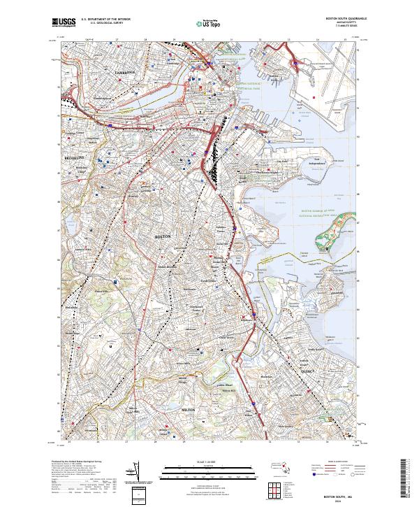
2024 Boston South
Suffolk County, MA
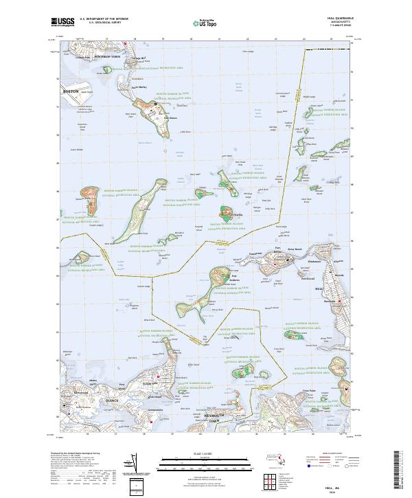
2024 Hull
Suffolk County, MA