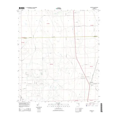
2015 Map of Bostwick
USGS Topo · Published 2015About this map
Bostwick sits at the heart of this North Florida landscape, where the border of Clay and Putnam Counties marks a transition from higher ground toward the local drainages. The area is defined by a dense network of watercourses, including the winding Simms Creek and Harvey Creek, which flow through a terrain increasingly marked by residential development and rural roads. Many of the thoroughfares, such as Old Bostwick Road and Harvey Branch Road, reflect the agricultural and timber-linked history of the region. The map captures a mix of established rural settlements and newer naming conventions seen in residential lanes like Pine Cone Trail and Chickadee Lane. This specific mapping highlights how modern land divisions have integrated with the natural wetlands of Hammock Branch, showing the spatial evolution of the county line region near the St. Johns River corridor.
Find a feature on this map
63 named features on this map. Tap any name to fly to it.
Don’t see what you’re looking for? This feature index may not catch every label — zoom into the map to look around manually.
Map Details
Editions of this 2015 Bostwick Map
This is the sole edition of this map. No revisions or reprints were ever made.
Other maps of this area

1912 · Palatka
USGS Topo · 1:48,000

1915 · Palatka
USGS Topo · 1:62,500

1915 · Interlachen
USGS Topo · 1:48,000

1916 · Interlachen
USGS Topo · 1:62,500

1942 · Ates Creek
USGS Topo · 1:62,500

1944 · Interlachen
USGS Topo · 1:62,500

1947 · Bostwick
USGS Topo · 1:50,000

1949 · Rice Creek
USGS Topo · 1:24,000

1949 · Bostwick
USGS Topo · 1:24,000

1949 · Green Cove Springs
USGS Topo · 1:24,000