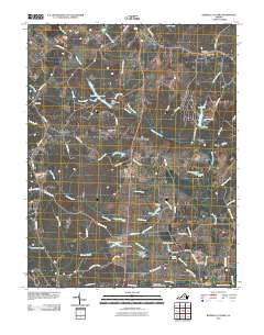
2010 Map of Boswells Tavern
USGS Topo · Published 2010About this map
South Anna River and its numerous tributaries, including Bunch Creek and Hudson Creek, define the rolling landscape of this part of Louisa County. The area remains largely rural, anchored by historically significant junctions and small settlements such as Boswells Tavern and Waldrop. A network of country roads, some bearing the names of earlier residents or landmarks like Meadows Farm and Bowlers Mill Rd, connects isolated post offices and farmsteads.
Find a feature on this map
78 named features on this map. Tap any name to fly to it.
Don’t see what you’re looking for? This feature index may not catch every label — zoom into the map to look around manually.
Map Details
Editions of this 2010 Boswells Tavern Map
This is the sole edition of this map. No revisions or reprints were ever made.
Other maps of this area

1891 · Palmyra
USGS Topo · 1:125,000

1892 · Gordonsville
USGS Topo · 1:125,000

1895 · Palmyra
USGS Topo · 1:125,000

1897 · Palmyra
USGS Topo · 1:125,000

1935 · Charlottesville
USGS Topo · 1:62,500

1939 · Charlottesville
USGS Topo · 1:62,500

1943 · Scottsville
USGS Topo · 1:62,500

1946 · Scottsville
USGS Topo · 1:62,500

1947 · Roanoke
USGS Topo · 1:250,000

1949 · Charlottesville
USGS Topo · 1:250,000