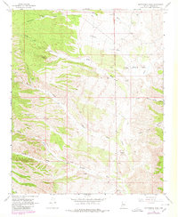
1968 Map of Bottleneck Wash
USGS Topo · Published 1980About this map
Kabba Mine sits as a lonely industrial marker in this arid reach of Mohave County, where the landscape is defined by an intricate network of desert drainages. The mapping, based on 1960s aerial photography with late-1970s updates, reveals a region organized around sparse water sources and ranching outposts. Cattle operations are anchored by sites such as Round Valley Ranch and Windmill Ranch, which relied on a system of improved water features like Government Tank and Timber Antelope Well to survive the harsh environment.
Find a feature on this map
25 named features on this map. Tap any name to fly to it.
Don’t see what you’re looking for? This feature index may not catch every label — zoom into the map to look around manually.
Map Details
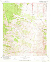
Editions of this 1968 Bottleneck Wash Map
2 editions found
Other maps of this area

1886 · Diamond Creek
USGS Topo · 1:250,000

1892 · Diamond Creek
USGS Topo · 1:250,000

1923 · Signal
USGS Topo · 1:250,000

1942 · Signal
USGS Topo · 1:250,000

1948 · Williams
USGS Topo · 1:250,000

1950 · Prescott
USGS Topo · 1:250,000

1954 · Prescott
USGS Topo · 1:250,000

1954 · Williams
USGS Topo · 1:250,000

1956 · Williams
USGS Topo · 1:250,000

1958 · Prescott
USGS Topo · 1:250,000