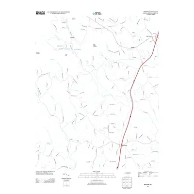
2013 Map of Bottom
USGS Topo · Published 2013About this map
The Mitchell River and Fisher River dominate this portion of Surry County, carving through a landscape defined by prominent elevations like Skull Camp Mountain and Fulcher Mountain. In the south, the settlement of Salemfork sits near the winding paths of Burris Cr and Snow Cr, while to the north, the community of Beulah is situated along Beaverdam Cr. The map reveals a rural economy and social structure anchored by small settlements and family-named landmarks, such as Kapps Mill and the Round Peak Tree Farm.
Find a feature on this map
161 named features on this map. Tap any name to fly to it.
Don’t see what you’re looking for? This feature index may not catch every label — zoom into the map to look around manually.
Map Details
Editions of this 2013 Bottom Map
This is the sole edition of this map. No revisions or reprints were ever made.
Other maps of this area

1889 · Hillsville
USGS Topo · 1:125,000

1891 · Yadkinville
USGS Topo · 1:125,000

1892 · Hillsville
USGS Topo · 1:125,000

1893 · Yadkinville
USGS Topo · 1:125,000

1896 · Hillsville
USGS Topo · 1:125,000

1931 · Galax
USGS Topo · 1:48,000

1933 · Galax
USGS Topo · 1:62,500

1953 · Winston-Salem
USGS Topo · 1:250,000

1955 · Winston-Salem
USGS Topo · 1:250,000

1957 · Mount Airy
USGS Topo · 1:62,500