
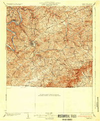
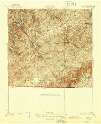
1933 Map of Galax
USGS Topo · Published 1933About this map
Galax serves as the industrial and population hub of this 1930s Virginia landscape, where the Norfolk and Western Ry terminates near Chestnut Creek. The surrounding Blue Ridge terrain is dotted with small rural communities and family-named landmarks such as Monarat PO, West Galax, and Oldtown. In the northwestern corner, the New River carves a deep path through the mountains, facilitated by river crossings like Dickinson Ferry and Dixon Ferry.
Find a feature on this map
104 named features on this map. Tap any name to fly to it.
Don’t see what you’re looking for? This feature index may not catch every label — zoom into the map to look around manually.
Map Details
Editions of this 1933 Galax Map
3 editions found
Other maps of this area

1889 · Hillsville
USGS Topo · 1:125,000

1889 · Wytheville
USGS Topo · 1:125,000

1889 · Wilkesboro
USGS Topo · 1:125,000

1891 · Wilkesboro
USGS Topo · 1:125,000

1891 · Yadkinville
USGS Topo · 1:125,000

1892 · Hillsville
USGS Topo · 1:125,000

1892 · Wytheville
USGS Topo · 1:125,000

1893 · Yadkinville
USGS Topo · 1:125,000

1896 · Hillsville
USGS Topo · 1:125,000

1930 · Speedwell
USGS Topo · 1:62,500