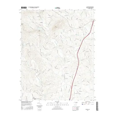
2016 Map of Bottom
USGS Topo · Published 2016About this map
Dobson and the surrounding rural landscape of Surry County are defined by a network of rivers and prominent peaks in this 2016 survey. The Fisher River and Mitchell River flow through the terrain, with numerous smaller tributaries like Muddy Fork, Burris Cr, and Snow Cr etching the valley floors. These waterways long influenced the settlement patterns seen in the small communities of Beulah, Ladonia, and Mountain Park.
Find a feature on this map
148 named features on this map. Tap any name to fly to it.
Don’t see what you’re looking for? This feature index may not catch every label — zoom into the map to look around manually.
Map Details
Editions of this 2016 Bottom Map
This is the sole edition of this map. No revisions or reprints were ever made.
Other maps of this area

1889 · Hillsville
USGS Topo · 1:125,000

1891 · Yadkinville
USGS Topo · 1:125,000

1892 · Hillsville
USGS Topo · 1:125,000

1893 · Yadkinville
USGS Topo · 1:125,000

1896 · Hillsville
USGS Topo · 1:125,000

1931 · Galax
USGS Topo · 1:48,000

1933 · Galax
USGS Topo · 1:62,500

1953 · Winston-Salem
USGS Topo · 1:250,000

1955 · Winston-Salem
USGS Topo · 1:250,000

1957 · Mount Airy
USGS Topo · 1:62,500