
1954 Map of Boulder
USGS Topo · Published 1956About this map
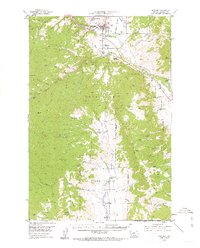
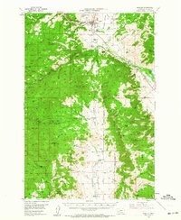
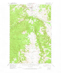
Boulder and the Boulder River valley are captured here at a time when the region's economy balanced rail transport, ranching, and the remnants of its mining boom. The Great Northern railway services the valley, connecting Boulder Station with the wider state, while the presence of the Montana State Training School and the Boulder Cem establish the town's institutional footprint. The landscape is dotted with legacies of extraction, including the Chinese Diggings (Placer) and the May Day Mine, reflecting a history of diverse prospecting efforts.
Find a feature on this map
87 named features on this map. Tap any name to fly to it.
Don’t see what you’re looking for? This feature index may not catch every label — zoom into the map to look around manually.
Map Details
Editions of this 1954 Boulder Map
4 editions found
Other maps of this area

1886 · Fort Logan
USGS Topo · 1:250,000

1888 · Three Forks
USGS Topo · 1:250,000

1889 · Helena
USGS Topo · 1:250,000

1893 · Helena
USGS Topo · 1:250,000

1893 · Dillon
USGS Topo · 1:250,000

1894 · Three Forks
USGS Topo · 1:250,000

1895 · Three Forks
USGS Topo · 1:250,000

1899 · Boulder
USGS Topo · 1:125,000

1899 · Helena
USGS Topo · 1:250,000

1903 · Helena
USGS Topo · 1:250,000
Featured Places
- Boulder, MT
- Sunset Trailer Court, Boulder
- Mountain Valley Trailer Court, Boulder
- Jefferson County, MT
- United States