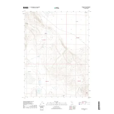
2018 Map of Boulder Lake
USGS Topo · Published 2018About this map
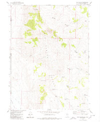
Hays Canyon Range and the Pinto Peak Range define the high-desert character of this northwestern Nevada landscape. This modern survey illustrates a topography of scattered water sources and expansive flats, where intermittent drainage and small basins like Lords Lake and Central Lake provide rare relief. The presence of named water-control features such as Bedrock Reservoir and Orphan Reservoir suggests the critical importance of water management for livestock or wildlife in this arid region. High plateaus like Button Brush Flat and the Black Hills overlook the low-lying Boulder Flat, while C R 34 and Hays Canyon Rd serve as the primary conduits through this sparsely populated territory.
Find a feature on this map
20 named features on this map. Tap any name to fly to it.
Don’t see what you’re looking for? This feature index may not catch every label — zoom into the map to look around manually.
Map Details
Editions of this 2018 Boulder Lake Map
This is the sole edition of this map. No revisions or reprints were ever made.
Other maps of this area

1889 · Long Valley
USGS Topo · 1:250,000

1954 · Vya
USGS Topo · 1:250,000

1958 · Vya
USGS Topo · 1:250,000

1962 · Vya
USGS Topo · 1:250,000

1966 · Vya
USGS Topo · 1:24,000

1966 · Painted Point
USGS Topo · 1:24,000
1966 · Fortynine Mtn.
USGS Topo · 1:24,000
1979 · Powers Well
USGS Topo · 1:24,000
1979 · Boulder Lake
USGS Topo · 1:24,000
1979 · Hays Canyon
USGS Topo · 1:24,000