
1966 Map of Vya
USGS Topo · Published 1968About this map
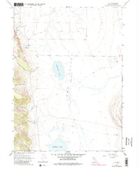
Vya serves as the focal point of this arid high-desert landscape in northern Washoe County during the mid-1960s. Located within the expansive Long Valley (Depression), the settlement is surrounded by a network of ephemeral water features and rugged terrain. The map reveals a reliance on primitive transportation routes, including the Dug Way Road and various unnamed Jeep Trails that cross the valley floor to reach isolated points like the Black Hills to the east.
Find a feature on this map
15 named features on this map. Tap any name to fly to it.
Don’t see what you’re looking for? This feature index may not catch every label — zoom into the map to look around manually.
Map Details
Editions of this 1966 Vya Map
2 editions found
Other maps of this area

1889 · Long Valley
USGS Topo · 1:250,000

1954 · Vya
USGS Topo · 1:250,000

1958 · Vya
USGS Topo · 1:250,000

1962 · Vya
USGS Topo · 1:250,000

1966 · Massacre Lake NW
USGS Topo · 1:24,000
1966 · Carter Reservoir
USGS Topo · 1:24,000

1966 · Alkali Lake
USGS Topo · 1:24,000

1966 · Painted Point
USGS Topo · 1:24,000
1966 · Fortynine Mtn.
USGS Topo · 1:24,000
1979 · Powers Well
USGS Topo · 1:24,000