
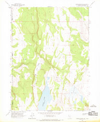
1966 Map of Alkali Lake
USGS Topo · Published 1969About this map
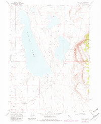
Long Valley (Depression) defines the arid landscape of northern Washoe County in the mid-1960s. This high-desert basin is dominated by the seasonal expanse of Alkali Lake, a large playa where water availability is marked only by scattered seeps and springs, including Warm Springs at the northern end of the valley. Human presence in this isolated region is represented by Bandy Ranch and a nearby Gravel Pit at the southern edge of the survey area. The network of transportation is limited to an unimproved Jeep Trail, illustrating the remote nature of the terrain before modern infrastructure development. The topography reveals a sharp contrast between the flat lake bed and the rising slopes of the surrounding hills, where the basin floor sits at an elevation of roughly 5,500 feet.
Find a feature on this map
9 named features on this map. Tap any name to fly to it.
Don’t see what you’re looking for? This feature index may not catch every label — zoom into the map to look around manually.
Map Details
Editions of this 1966 Alkali Lake Map
2 editions found
Other maps of this area

1889 · Long Valley
USGS Topo · 1:250,000

1954 · Vya
USGS Topo · 1:250,000

1958 · Vya
USGS Topo · 1:250,000

1962 · Vya
USGS Topo · 1:250,000

1966 · Massacre Lake NW
USGS Topo · 1:24,000

1966 · Vya
USGS Topo · 1:24,000
1966 · Mosquito Valley
USGS Topo · 1:24,000
1966 · Calcutta Lake
USGS Topo · 1:24,000
1966 · Carter Reservoir
USGS Topo · 1:24,000
1966 · Crooks Meadow
USGS Topo · 1:24,000