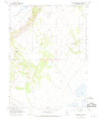
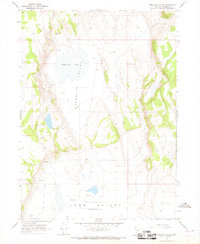
1966 Map of Massacre Lake NW
USGS Topo · Published 1968About this map
Long Valley dominates this high desert landscape in northwestern Nevada, characterized by a series of vital water sources and ephemeral basins during the mid-1960s. The map captures a remote section of Washoe County where survival and land use were historically dictated by the location of seeps and named springs. Distinctive landmarks such as Townsend Spring, Indian Spring, and Sheep Camp Spring highlight the locations where water was accessible to livestock or early travelers.
Find a feature on this map
16 named features on this map. Tap any name to fly to it.
Don’t see what you’re looking for? This feature index may not catch every label — zoom into the map to look around manually.
Map Details
Editions of this 1966 Massacre Lake NW Map
This is the sole edition of this map. No revisions or reprints were ever made.
Other maps of this area

1889 · Long Valley
USGS Topo · 1:250,000

1954 · Vya
USGS Topo · 1:250,000

1958 · Vya
USGS Topo · 1:250,000

1962 · Vya
USGS Topo · 1:250,000
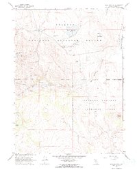
1966 · Bald Mountain
USGS Topo · 1:24,000
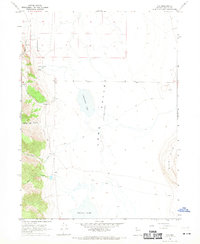
1966 · Vya
USGS Topo · 1:24,000
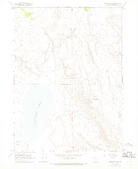
1966 · Massacre Lake
USGS Topo · 1:24,000
1966 · Mosquito Valley
USGS Topo · 1:24,000
1966 · Calcutta Lake
USGS Topo · 1:24,000
1966 · Alkali Lake
USGS Topo · 1:24,000