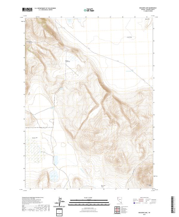
2021 Map of Boulder Lake
USGS Topo · Published 2021About this map
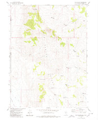
The Hays Canyon Range and the Pinto Peak Range define the high elevations of this northern Nevada landscape, where water collection is the primary driver of named features. A series of small basins and catchments are identified throughout the terrain, including Central Lake, Lords Lake, and Grass Lake. The infrastructure for managing this scarce resource is visible in the naming of Bedrock Reservoir and Orphan Reservoir, which likely support the agricultural interests of the surrounding valley floors. Large open expanses such as Button Brush Flat, Boulder Flat, and the Rye Grass Field indicate the varied vegetation and grazing potential of the high desert. Evidence of early county management is seen in the presence of C R 34, a road that cuts through Long Valley to connect these remote ranching or range lands.
Find a feature on this map
19 named features on this map. Tap any name to fly to it.
Don’t see what you’re looking for? This feature index may not catch every label — zoom into the map to look around manually.
Map Details
Editions of this 2021 Boulder Lake Map
This is the sole edition of this map. No revisions or reprints were ever made.
Other maps of this area

1889 · Long Valley
USGS Topo · 1:250,000

1954 · Vya
USGS Topo · 1:250,000

1958 · Vya
USGS Topo · 1:250,000

1962 · Vya
USGS Topo · 1:250,000

1966 · Vya
USGS Topo · 1:24,000

1966 · Painted Point
USGS Topo · 1:24,000
1966 · Fortynine Mtn.
USGS Topo · 1:24,000
1979 · Powers Well
USGS Topo · 1:24,000
1979 · Boulder Lake
USGS Topo · 1:24,000
1979 · Hays Canyon
USGS Topo · 1:24,000