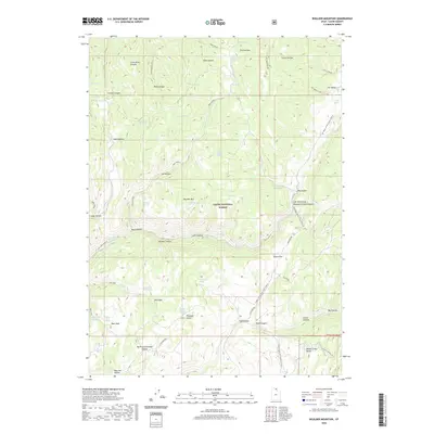
2020 Map of Boulder Mountain
USGS Topo · Published 2020About this map
Cache National Forest defines this high-elevation landscape in Cache County, where the northern reaches of the Monte Cristo Range meet the prominent Boulder Mtn. This modern survey details a complex system of drainage and grazing lands, punctuated by numerous named springs such as Bronze Spring, Cabin Spring, and Sheep Creek Spring. The terrain is characterized by deep canyons and hollows, including Ricks Canyon and the Left Hand Fork Blacksmith Fork Canyon, which historically served as vital corridors for movement through the mountains.
Find a feature on this map
62 named features on this map. Tap any name to fly to it.
Don’t see what you’re looking for? This feature index may not catch every label — zoom into the map to look around manually.
Map Details
Editions of this 2020 Boulder Mountain Map
This is the sole edition of this map. No revisions or reprints were ever made.
Other maps of this area

1912 · Randolph
USGS Topo · 1:125,000

1914 · Logan
USGS Topo · 1:125,000

1916 · Logan
USGS Topo · 1:125,000

1949 · Boulter Mts
USGS Topo · 1:24,000

1954 · Ogden
USGS Topo · 1:250,000

1958 · Ogden
USGS Topo · 1:250,000

1960 · Ogden
USGS Topo · 1:250,000

1969 · Boulder Mtn
USGS Topo · 1:24,000
1969 · Porcupine Reservoir
USGS Topo · 1:24,000
1969 · Hardware Ranch
USGS Topo · 1:24,000