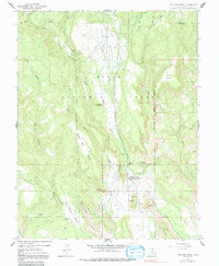
1964 Map of Boulder Town
USGS Topo · Published 1991About this map
Boulder Town serves as the central hub of this remote plateau landscape, shown here as it appeared in the mid-1960s within the Dixie National Forest. The map documents a community deeply tied to its water and power infrastructure, evidenced by the Powerhouse, Canal, Penstock, and Tailrace system that utilizes the descent of Boulder Creek. A Radio Facility and Radio Tower sit near the town center, while the Rodeo Grounds reflect the local ranching culture of Garfield County.
Find a feature on this map
40 named features on this map. Tap any name to fly to it.
Don’t see what you’re looking for? This feature index may not catch every label — zoom into the map to look around manually.
Map Details
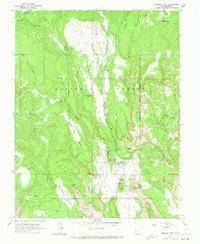
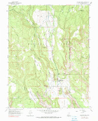
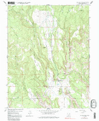
Editions of this 1964 Boulder Town Map
4 editions found
Other maps of this area

1885 · Fish Lake
USGS Topo · 1:250,000

1886 · Escalante
USGS Topo · 1:250,000

1896 · Fish Lake
USGS Topo · 1:250,000

1952 · Notom 3 SW
USGS Topo · 1:24,000

1952 · Notom 3 SE
USGS Topo · 1:24,000

1952 · Grover
USGS Topo · 1:62,500

1953 · Circle Cliffs 2 NE
USGS Topo · 1:24,000

1956 · Escalante
USGS Topo · 1:250,000

1956 · Salina
USGS Topo · 1:250,000

1960 · Escalante
USGS Topo · 1:250,000