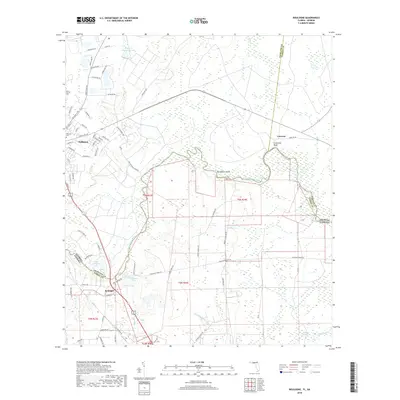
2018 Map of Boulogne
USGS Topo · Published 2018About this map
The Saint Marys River winds along the border of Georgia and Florida, serving as a primary geographical anchor for the settlements of Folkston and Boulogne. In this southern landscape, the river’s path creates distinct features like Horseshoe Island and the elevated Coleraine Bluff near the historic site of Colerain. The settlement of Folkston is shown with its grid of local streets, including Kingsland Dr and Pinewood St, while the community of Boulogne sits to the south near Lake Hampton Rd.
Find a feature on this map
76 named features on this map. Tap any name to fly to it.
Don’t see what you’re looking for? This feature index may not catch every label — zoom into the map to look around manually.
Map Details
Editions of this 2018 Boulogne Map
This is the sole edition of this map. No revisions or reprints were ever made.
Other maps of this area

1917 · Boulogne
USGS Topo · 1:62,500

1917 · Hilliard
USGS Topo · 1:62,500

1918 · Folkston
USGS Topo · 1:62,500

1918 · Moniac
USGS Topo · 1:62,500

1919 · Hilliard
USGS Topo · 1:62,500

1919 · Boulogne
USGS Topo · 1:62,500

1942 · Moniac
USGS Topo · 1:62,500

1948 · Jacksonville
USGS Topo · 1:250,000

1954 · Valdosta
USGS Topo · 1:250,000

1957 · Jacksonville
USGS Topo · 1:250,000