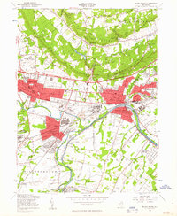
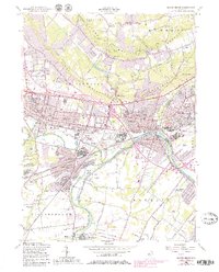
1955 Map of Bound Brook
USGS Topo · Published 1963About this map
The Raritan River and its parallel companion, the Delaware and Raritan Canal, anchor this mid-century portrait of Somerset County. Industry and transportation dominate the landscape, with the Central RR of New Jersey and Lehigh Valley RR cutting through the urbanized corridors of Somerville, Bound Brook, and Manville. Beyond the industrial zones and the Veterans Administration Supply Depot, the terrain rises sharply into the First Watchung Mountain and Second Watchung Mountain, separated by the Washington Valley Res. This era shows a community in transition, where legacy sites like the Van Nest Burying Ground and Alma White College sit near expanding suburban developments and specialized enclaves like Ukrainian Village. Landmarks such as Chimney Rock and numerous hilltop radio towers overlook the valley's complex network of brooks and reservoirs.
Find a feature on this map
90 named features on this map. Tap any name to fly to it.
Don’t see what you’re looking for? This feature index may not catch every label — zoom into the map to look around manually.
Map Details
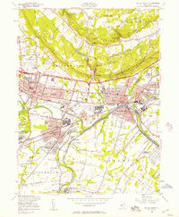
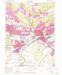
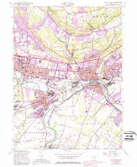
Editions of this 1955 Bound Brook Map
5 editions found
Other maps of this area

1888 · Plainfield
USGS Topo · 1:62,500

1888 · New Brunswick
USGS Topo · 1:62,500

1888 · Princeton
USGS Topo · 1:62,500

1891 · Somerville
USGS Topo · 1:62,500

1893 · New Brunswick
USGS Topo · 1:62,500

1893 · Plainfield
USGS Topo · 1:62,500

1893 · Somerville
USGS Topo · 1:62,500

1894 · Princeton
USGS Topo · 1:62,500

1898 · Plainfield
USGS Topo · 1:62,500

1898 · Somerville
USGS Topo · 1:62,500
Featured Places
- Franklin Township, NJ
- Piscataway Township, NJ
- Bridgewater Township, NJ
- Hillsborough Township, NJ
- Middlesex, NJ