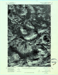
1977 Map of Boundary Bald Mountain
USGS Topo · Published 1983About this map
Boundary Bald Mountain dominates this Somerset County landscape, a terrain defined by high ridges and a complex network of waterways that eventually feed the larger Penobscot drainage system. The drainage pattern is led by the South Branch Penobscot River, which is joined by several mountain-fed tributaries including Penobscot Brook, Hale Brook, and Fish Brook.
Find a feature on this map
6 named features on this map. Tap any name to fly to it.
Don’t see what you’re looking for? This feature index may not catch every label — zoom into the map to look around manually.
Map Details
Editions of this 1977 Boundary Bald Mountain Map
This is the sole edition of this map. No revisions or reprints were ever made.
Other maps of this area

1922 · Long Pond
USGS Topo · 1:62,500

1923 · Attean
USGS Topo · 1:62,500

1924 · Long Pond
USGS Topo · 1:62,500

1925 · Attean
USGS Topo · 1:62,500

1927 · Sandy Bay
USGS Topo · 1:48,000

1930 · Sandy Bay
USGS Topo · 1:62,500

1944 · Long Pond
USGS Topo · 1:62,500

1944 · Sandy Bay
USGS Topo · 1:62,500

1949 · Jackman
USGS Topo · 1:250,000

1950 · Attean
USGS Topo · 1:50,000
Featured Places
- Moose River, ME
- Bald Mountain Township T4 R3, ME
- Alder Brook Township, ME
- Hammond Township, ME
- Thorndike Township, ME