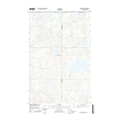
2014 Map of Boundary Lake
USGS Topo · Published 2014About this map
Boundary Lake sits at the very edge of the Canada-United States border, a defining geographic feature in this north-central section of North Dakota. The landscape is dominated by the Turtle Mountains, characterized by a dense concentration of small water bodies and wetlands typical of this upland region. Significant lakes like Willow Lake, Gordon Lake, and Sinclair Lake are connected by a subtle network of drainage such as Willow Cr.
Find a feature on this map
35 named features on this map. Tap any name to fly to it.
Don’t see what you’re looking for? This feature index may not catch every label — zoom into the map to look around manually.
Map Details
Editions of this 2014 Boundary Lake Map
This is the sole edition of this map. No revisions or reprints were ever made.
Other maps of this area

1935 · Dunseith
USGS Topo · 1:48,000

1939 · Dunseith
USGS Topo · 1:62,500

1954 · Minot
USGS Topo · 1:250,000

1955 · Lords Lake
USGS Topo · 1:24,000

1955 · Dunseith
USGS Topo · 1:24,000

1955 · Bottineau SE
USGS Topo · 1:24,000

1956 · Metigoshe Lake
USGS Topo · 1:24,000
1956 · Lords Lake
USGS Topo · 1:25,000

1958 · Minot
USGS Topo · 1:250,000
1968 · International Peace Garden
USGS Topo · 1:24,000