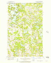
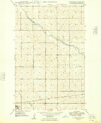
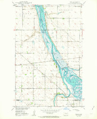
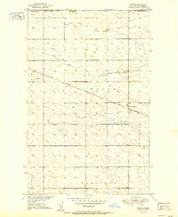
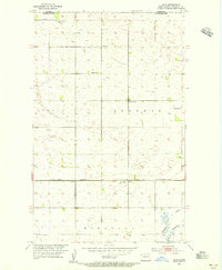
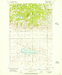
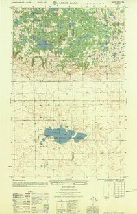
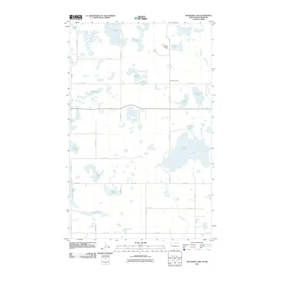
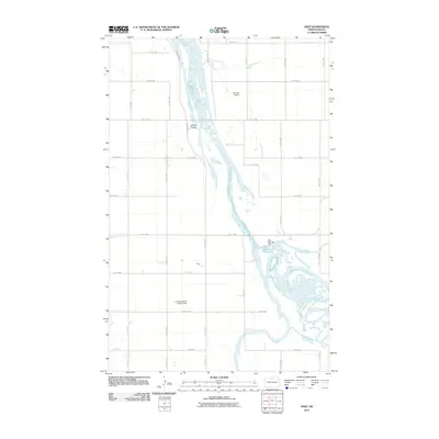
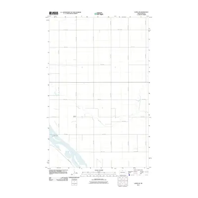
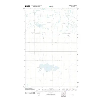
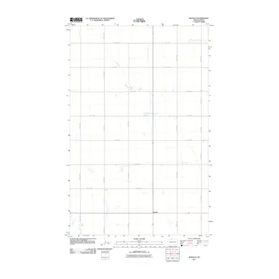
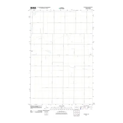
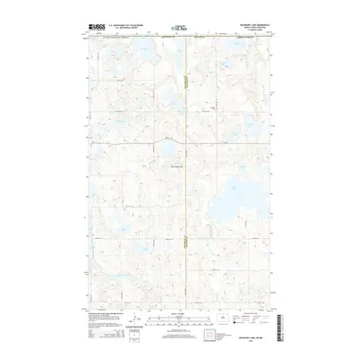
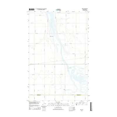
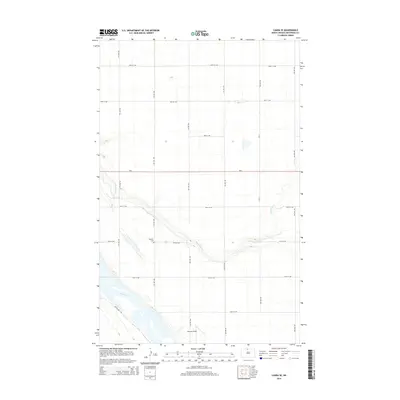
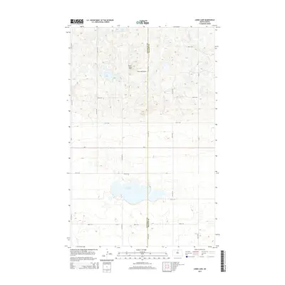
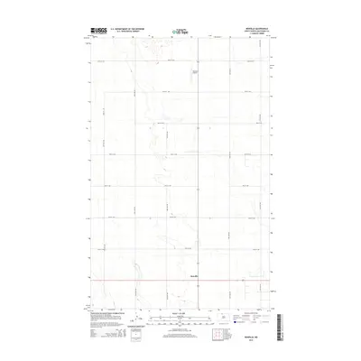
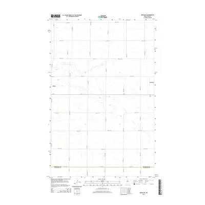
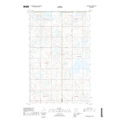
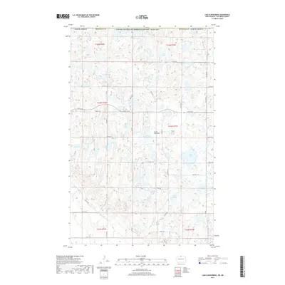
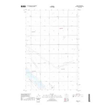
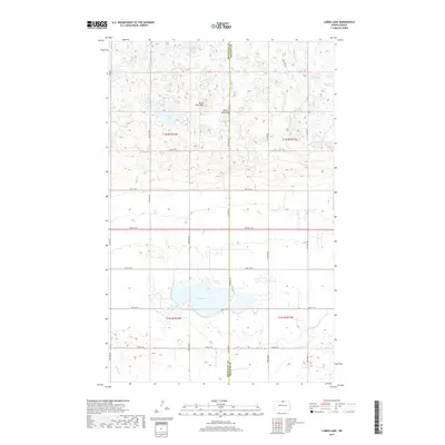
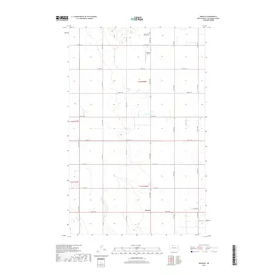
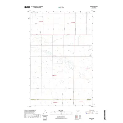
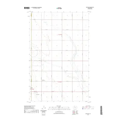
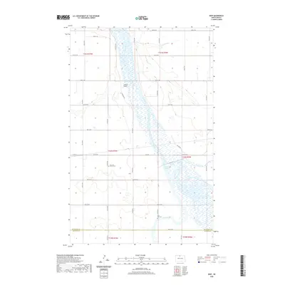
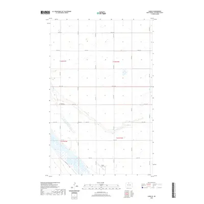
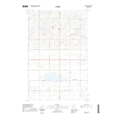
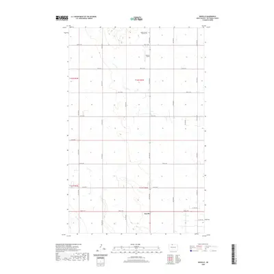
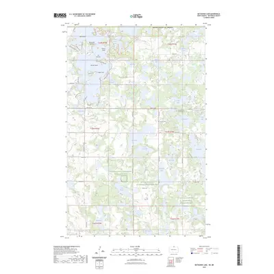
1956 Map of Metigoshe Lake
USGS Topo · Published 1957About this map
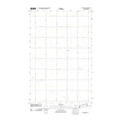
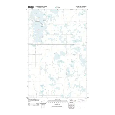
Turtle Mountains topography dominates this mid-century survey along the international border with Canada. The landscape is characterized by an intricate network of kettle lakes and wetlands, centered around the sprawling fingers of Metigoshe Lake. Settlement patterns in the mid-1950s appear dispersed across the townships of Roland, Whiteoak, and Cordelia, where rural life centered on a dense system of district schoolhouses. Several distinct facilities, including Loon Lake Sch No 1 and Hilton Sch No 5, are documented alongside landmarks like Masonic Island and Mackay Island. The establishment of Lake Metigoshe State Park indicates the area's transition toward recreation, while the presence of Vinje Ch and Norland Ch provides key points of interest for genealogists tracing Norwegian-American heritage in Bottineau County.
Find a feature on this map
49 named features on this map. Tap any name to fly to it.
Don’t see what you’re looking for? This feature index may not catch every label — zoom into the map to look around manually.
Map Details
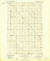
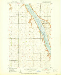
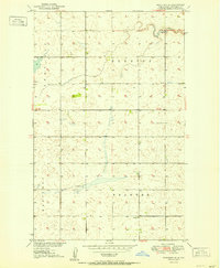
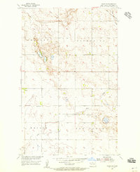
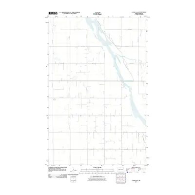
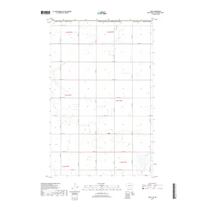
Editions of this 1956 Metigoshe Lake Map
2 editions found
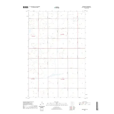
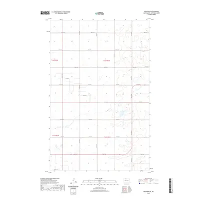
Historical Maps of United States Through Time
148 maps found
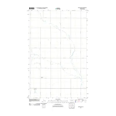
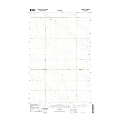
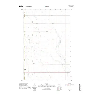
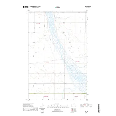
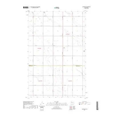
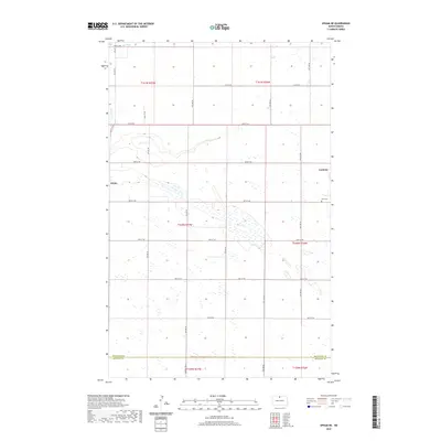
1948 Antler SW
Bottineau County, ND
1949 Eckman
Bottineau County, ND
1949 Landa SW
Bottineau County, ND
1949 Lansford NE
Bottineau County, ND

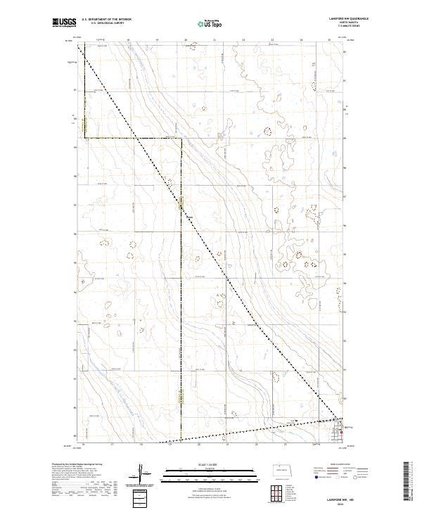
1949 Lansford NW
Bottineau County, ND
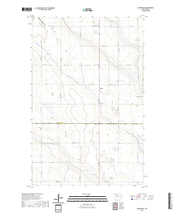
1949 Lansford SE
Bottineau County, ND
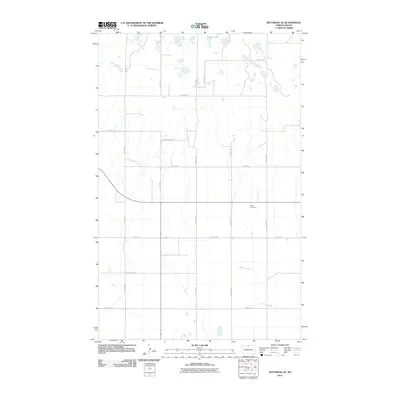
1949 Westhope SW
Bottineau County, ND
1950 Antler NW
Bottineau County, ND
1950 Deep
Bottineau County, ND
1950 Landa SW
Bottineau County, ND
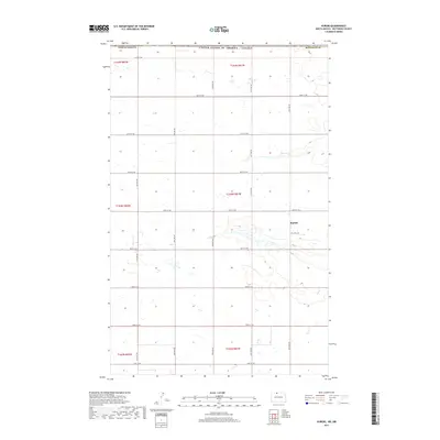
1950 Renville
Bottineau County, ND
1950 Westhope SW
Bottineau County, ND
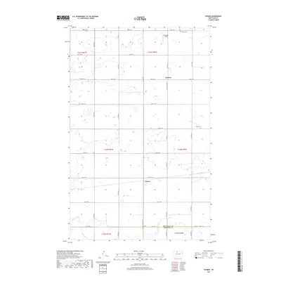
1951 Kuroki
Bottineau County, ND
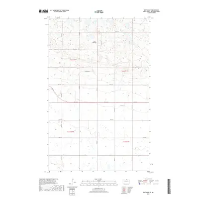
1951 Westhope SE
Bottineau County, ND
1954 Landa SE
Bottineau County, ND
1954 Omemee
Bottineau County, ND
1954 Roth
Bottineau County, ND
1954 Souris SE
Bottineau County, ND
1954 Souris SW
Bottineau County, ND
1955 Bottineau SE
Bottineau County, ND
1955 Lords Lake
Bottineau County, ND
1955 Upham NE
Bottineau County, ND
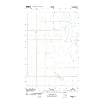
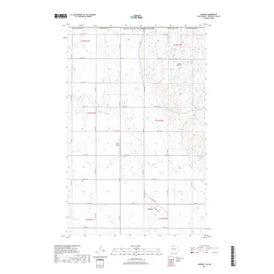
1956 Carbury
Bottineau County, ND
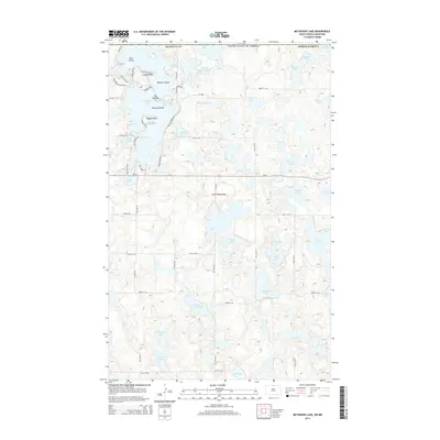
1956 Lake McArthur
Bottineau County, ND
1956 Lords Lake
Bottineau County, ND
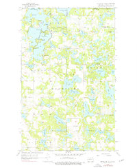
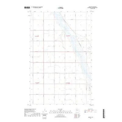
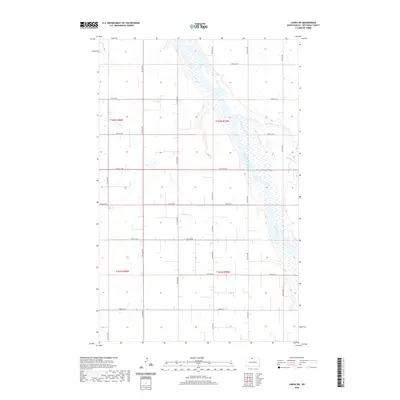
1956 Metigoshe Lake
Bottineau County, ND
1968 Boundary Lake
Bottineau County, ND
2011 Antler NW
Bottineau County, ND
2011 Antler SW
Bottineau County, ND
2011 Bottineau SE
Bottineau County, ND
2011 Boundary Lake
Bottineau County, ND
2011 Carbury
Bottineau County, ND
2011 Deep
Bottineau County, ND
2011 Eckman
Bottineau County, ND
2011 Kuroki
Bottineau County, ND
2011 Lake Klingenberg
Bottineau County, ND
2011 Landa SE
Bottineau County, ND
2011 Landa SW
Bottineau County, ND
2011 Lansford NE
Bottineau County, ND
2011 Lansford NW
Bottineau County, ND
2011 Lansford SE
Bottineau County, ND
2011 Lords Lake
Bottineau County, ND
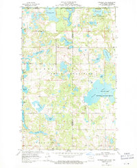
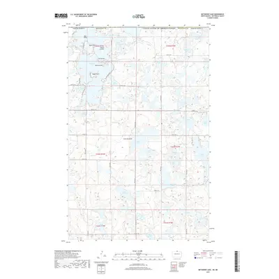
2011 Metigoshe Lake
Bottineau County, ND
2011 Omemee
Bottineau County, ND
2011 Renville
Bottineau County, ND
2011 Roth
Bottineau County, ND
2011 Souris SE
Bottineau County, ND
2011 Souris SW
Bottineau County, ND
2011 Upham NE
Bottineau County, ND
2011 Westhope SE
Bottineau County, ND
2011 Westhope SW
Bottineau County, ND
2014 Antler NW
Bottineau County, ND
2014 Antler SW
Bottineau County, ND
2014 Bottineau SE
Bottineau County, ND
2014 Boundary Lake
Bottineau County, ND
2014 Carbury
Bottineau County, ND
2014 Deep
Bottineau County, ND
2014 Eckman
Bottineau County, ND
2014 Kuroki
Bottineau County, ND
2014 Lake Klingenberg
Bottineau County, ND
2014 Landa SE
Bottineau County, ND
2014 Landa SW
Bottineau County, ND
2014 Lansford NE
Bottineau County, ND
2014 Lansford NW
Bottineau County, ND
2014 Lansford SE
Bottineau County, ND
2014 Lords Lake
Bottineau County, ND
2014 Metigoshe Lake
Bottineau County, ND
2014 Omemee
Bottineau County, ND
2014 Renville
Bottineau County, ND
2014 Roth
Bottineau County, ND
2014 Souris SE
Bottineau County, ND
2014 Souris SW
Bottineau County, ND
2014 Upham NE
Bottineau County, ND
2014 Westhope SE
Bottineau County, ND
2014 Westhope SW
Bottineau County, ND
2017 Antler NW
Bottineau County, ND
2017 Antler SW
Bottineau County, ND
2017 Bottineau SE
Bottineau County, ND
2017 Boundary Lake
Bottineau County, ND
2017 Carbury
Bottineau County, ND
2017 Deep
Bottineau County, ND
2017 Eckman
Bottineau County, ND
2017 Kuroki
Bottineau County, ND
2017 Lake Klingenberg
Bottineau County, ND
2017 Landa SE
Bottineau County, ND
2017 Landa SW
Bottineau County, ND
2017 Lansford NE
Bottineau County, ND
2017 Lansford NW
Bottineau County, ND
2017 Lansford SE
Bottineau County, ND
2017 Lords Lake
Bottineau County, ND
2017 Metigoshe Lake
Bottineau County, ND
2017 Omemee
Bottineau County, ND
2017 Renville
Bottineau County, ND
2017 Roth
Bottineau County, ND
2017 Souris SE
Bottineau County, ND
2017 Souris SW
Bottineau County, ND
2017 Upham NE
Bottineau County, ND
2017 Westhope SE
Bottineau County, ND
2017 Westhope SW
Bottineau County, ND
2020 Antler NW
Bottineau County, ND
2020 Antler SW
Bottineau County, ND
2020 Bottineau SE
Bottineau County, ND
2020 Boundary Lake
Bottineau County, ND
2020 Carbury
Bottineau County, ND
2020 Deep
Bottineau County, ND
2020 Eckman
Bottineau County, ND
2020 Kuroki
Bottineau County, ND
2020 Lake Klingenberg
Bottineau County, ND
2020 Landa SE
Bottineau County, ND
2020 Landa SW
Bottineau County, ND
2020 Lansford NE
Bottineau County, ND
2020 Lansford NW
Bottineau County, ND
2020 Lansford SE
Bottineau County, ND
2020 Lords Lake
Bottineau County, ND
2020 Metigoshe Lake
Bottineau County, ND
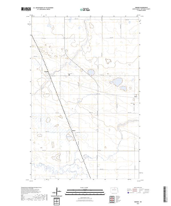
2020 Omemee
Bottineau County, ND
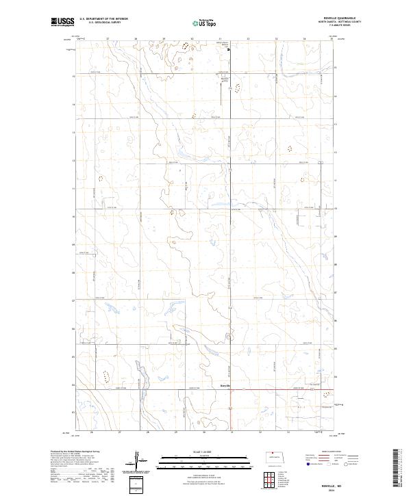
2020 Renville
Bottineau County, ND
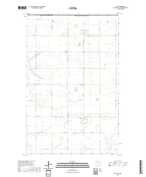
2020 Roth
Bottineau County, ND
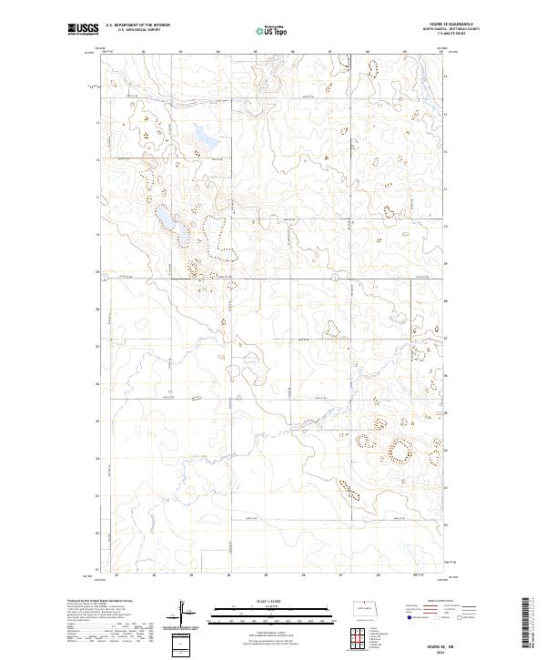
2020 Souris SE
Bottineau County, ND
2020 Souris SW
Bottineau County, ND
2020 Upham NE
Bottineau County, ND
2020 Westhope SE
Bottineau County, ND
2020 Westhope SW
Bottineau County, ND
2023 Metigoshe Lake
Bottineau County, ND
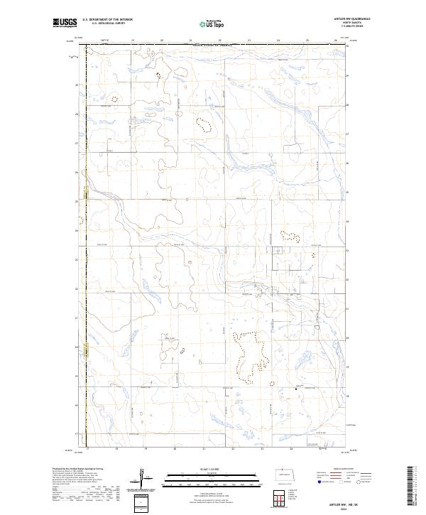
2024 Antler NW
Bottineau County, ND
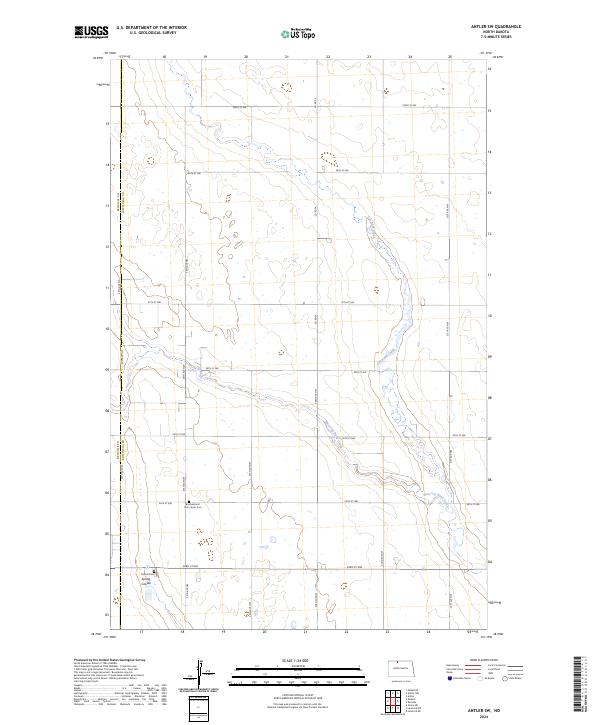
2024 Antler SW
Bottineau County, ND
2024 Bottineau SE
Bottineau County, ND
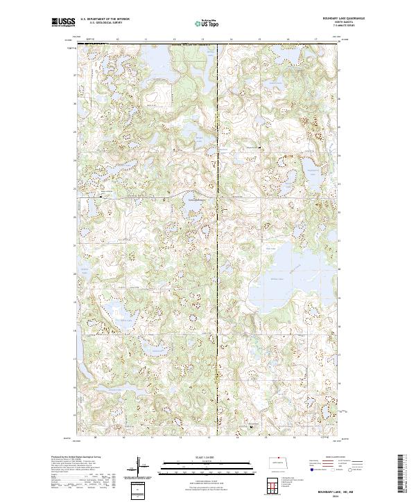
2024 Boundary Lake
Bottineau County, ND
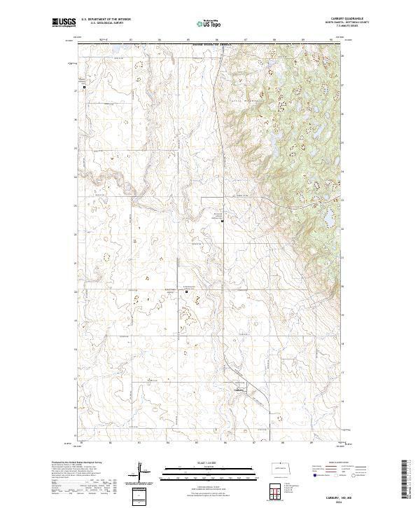
2024 Carbury
Bottineau County, ND
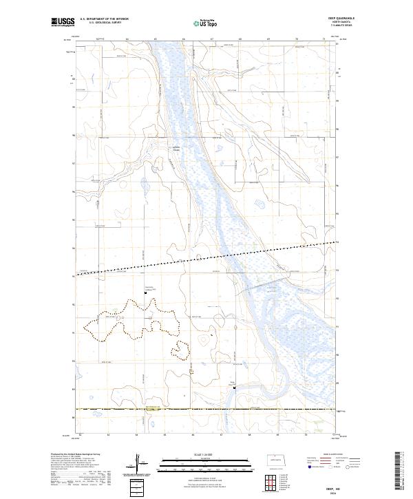
2024 Deep
Bottineau County, ND
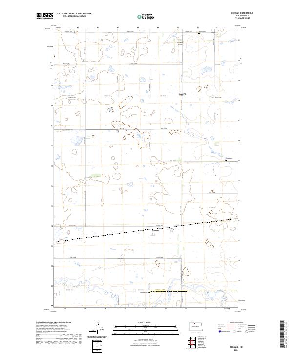
2024 Eckman
Bottineau County, ND
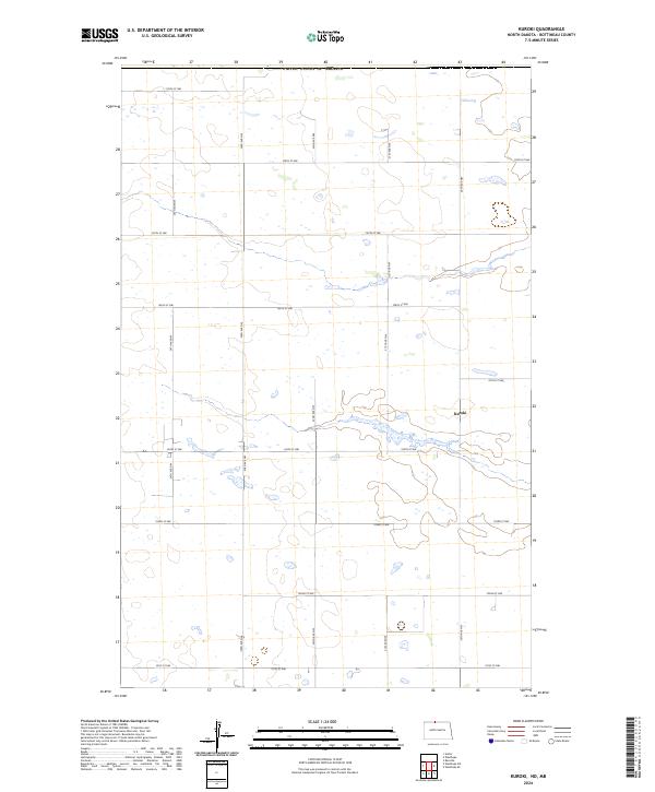
2024 Kuroki
Bottineau County, ND
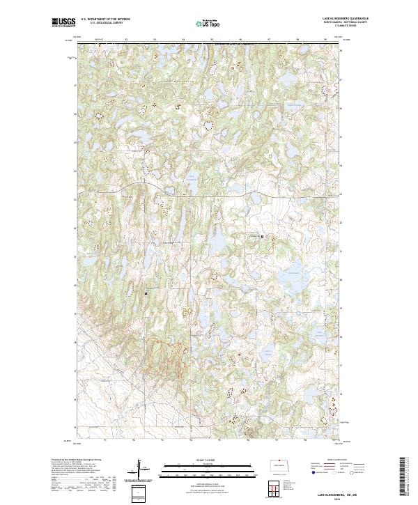
2024 Lake Klingenberg
Bottineau County, ND
2024 Landa SE
Bottineau County, ND
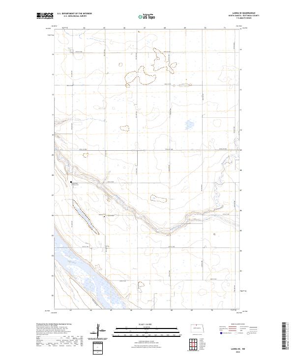
2024 Landa SW
Bottineau County, ND
2024 Lansford NE
Bottineau County, ND
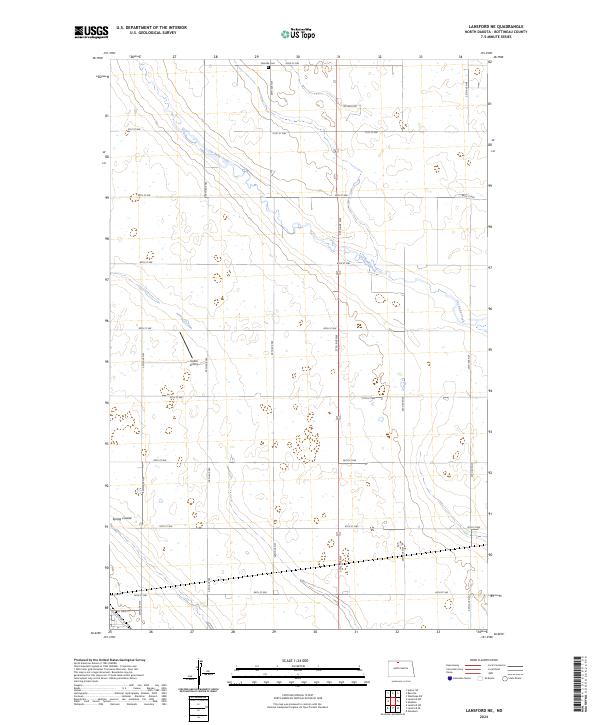
2024 Lansford NW
Bottineau County, ND
2024 Lansford SE
Bottineau County, ND
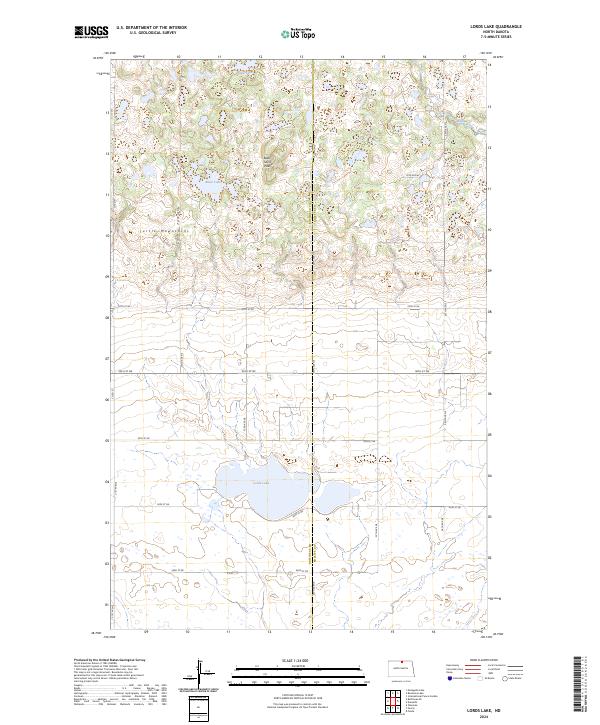
2024 Lords Lake
Bottineau County, ND
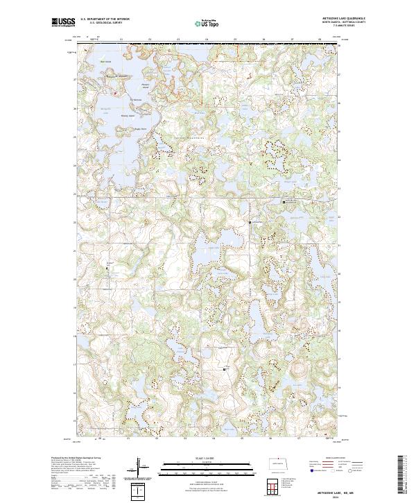
2024 Metigoshe Lake
Bottineau County, ND
2024 Omemee
Bottineau County, ND
2024 Renville
Bottineau County, ND
2024 Roth
Bottineau County, ND
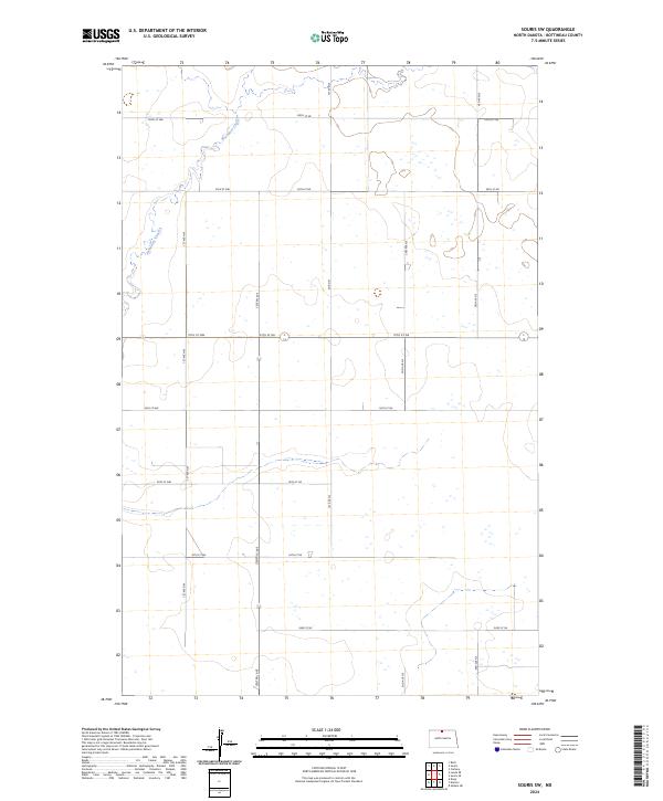
2024 Souris SE
Bottineau County, ND
2024 Souris SW
Bottineau County, ND
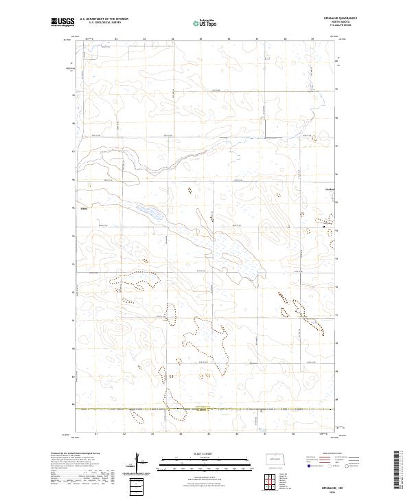
2024 Upham NE
Bottineau County, ND
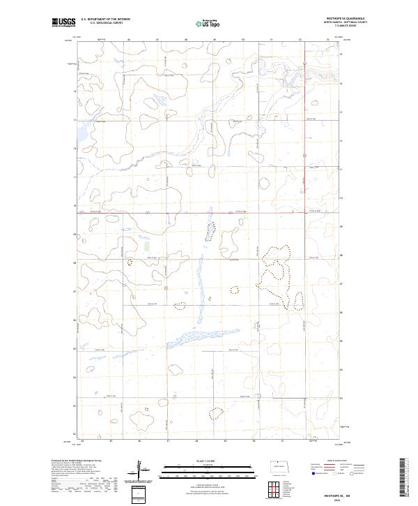
2024 Westhope SE
Bottineau County, ND
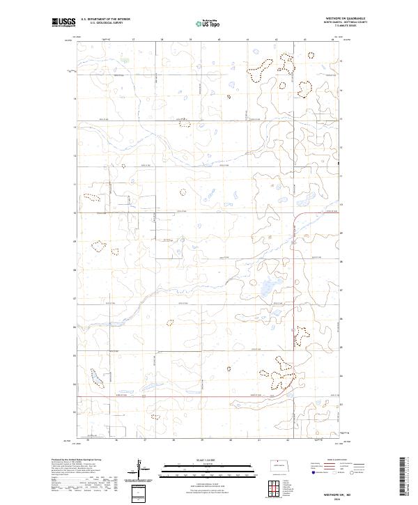
2024 Westhope SW
Bottineau County, ND