
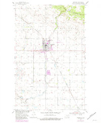
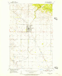
1955 Map of Bottineau
USGS Topo · Published 1956About this map
Turtle Mountains dominate the northern landscape of this North Dakota border region, where the wooded elevation gives way to the structured agricultural grids of the plains. The 1950s survey reflects a community rooted in its township divisions, specifically Whitteron, Cordelia, Amity, and Lordsburg. This era reveals a transition in rural education, with several schools still serving the dispersed population, including Toupin Sch No 1 and Amity Sch, while School No. 4 (Abandoned) signals shifting settlement patterns.
Find a feature on this map
11 named features on this map. Tap any name to fly to it.
Don’t see what you’re looking for? This feature index may not catch every label — zoom into the map to look around manually.
Map Details
Editions of this 1955 Bottineau Map
3 editions found
Other maps of this area

1954 · Omemee
USGS Topo · 1:24,000

1954 · Souris SE
USGS Topo · 1:24,000

1954 · Gardena
USGS Topo · 1:24,000

1954 · Minot
USGS Topo · 1:250,000
1955 · Upham NE
USGS Topo · 1:24,000

1955 · Bottineau SE
USGS Topo · 1:24,000

1956 · Metigoshe Lake
USGS Topo · 1:24,000

1956 · Carbury
USGS Topo · 1:24,000

1956 · Lake McArthur
USGS Topo · 1:24,000

1958 · Minot
USGS Topo · 1:250,000