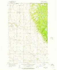
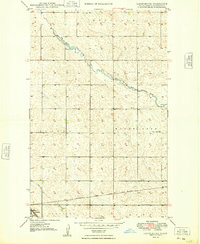
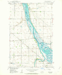
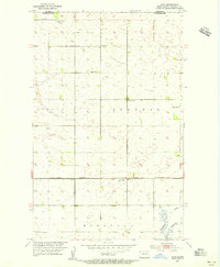
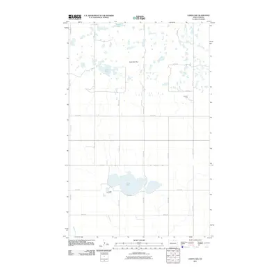
1956 Map of Carbury
USGS Topo · Published 1957About this map
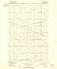
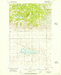
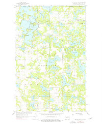
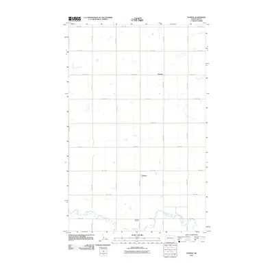
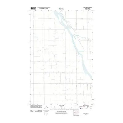
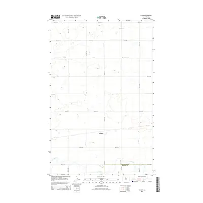
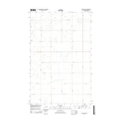
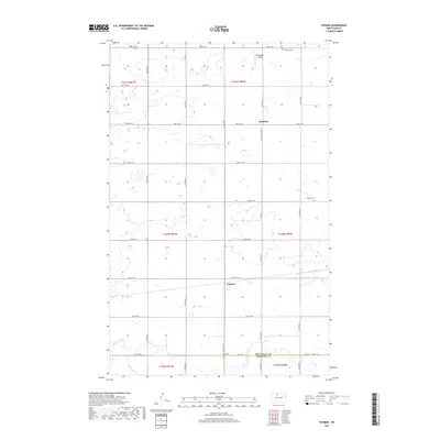
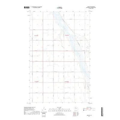
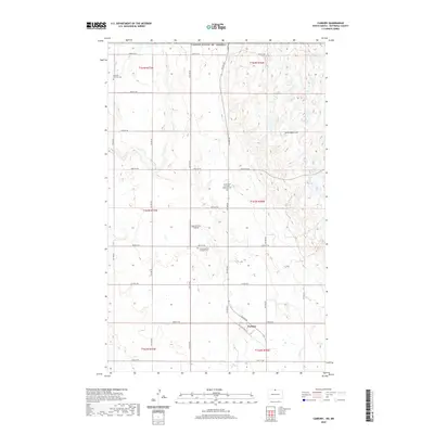
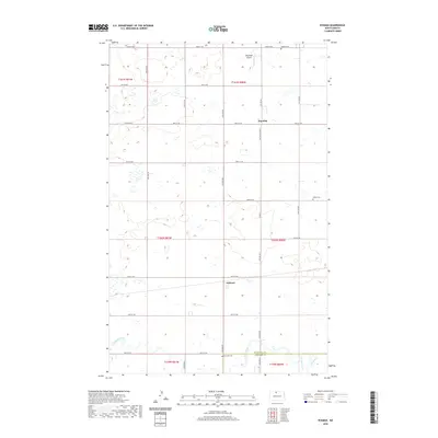
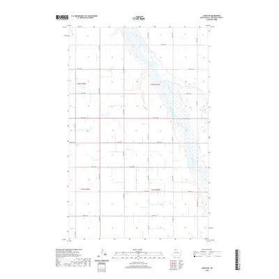
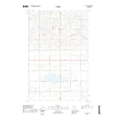
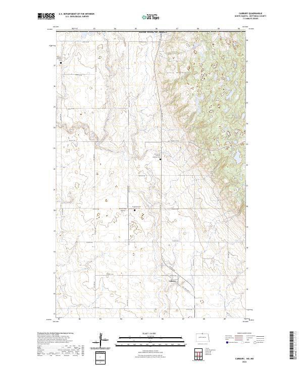
The Canada United States border defines the northern edge of this North Dakota landscape, where the flat agricultural plains meet the rising, lake-studded elevations of the Turtle Mountains. In the mid-1950s, the small settlement of Carbury sits along the Great Northern railroad line, serving as a hub for the surrounding townships of Haram, Dalen, Peabody, and Pickering. The map records a transition in rural education, noting several schoolhouses like Eidsvold Sch No 2 alongside others already marked as defunct, such as Mountain View Sch No 1 (Abandoned). Local religious life is centered at the Swedish Ch and Emmanuel Ch, both of which maintain associated cemeteries. Water features are prominent throughout, from the meandering Boundary Creek in the west to the higher-altitude Strawberry Lake among the eastern hills.
Find a feature on this map
22 named features on this map. Tap any name to fly to it.
Don’t see what you’re looking for? This feature index may not catch every label — zoom into the map to look around manually.
Map Details
Editions of this 1956 Carbury Map
This is the sole edition of this map. No revisions or reprints were ever made.
Historical Maps of Carbury Through Time
148 maps found
1948 Antler SW
Bottineau County, ND
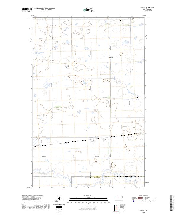
1949 Eckman
Bottineau County, ND
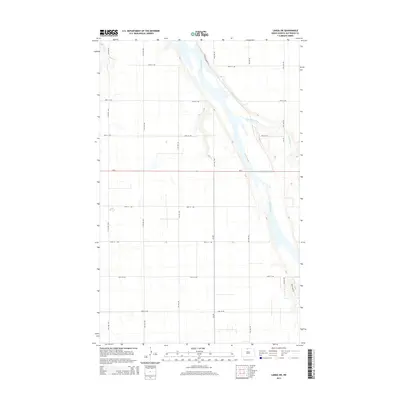
1949 Landa SW
Bottineau County, ND
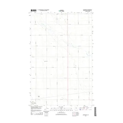
1949 Lansford NE
Bottineau County, ND

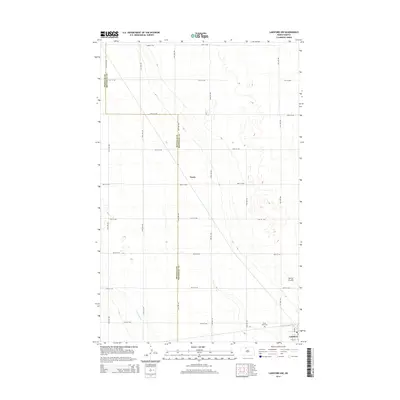
1949 Lansford NW
Bottineau County, ND
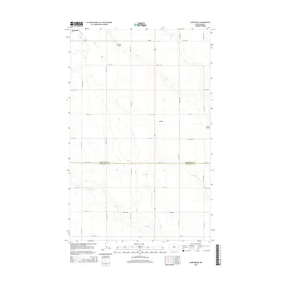
1949 Lansford SE
Bottineau County, ND
1949 Westhope SW
Bottineau County, ND
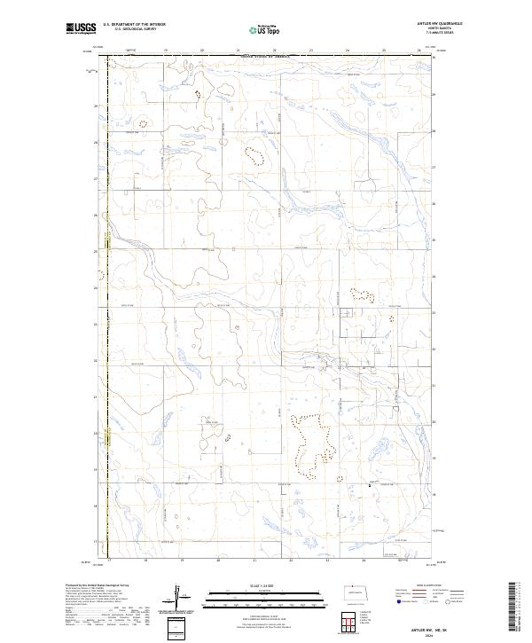
1950 Antler NW
Bottineau County, ND
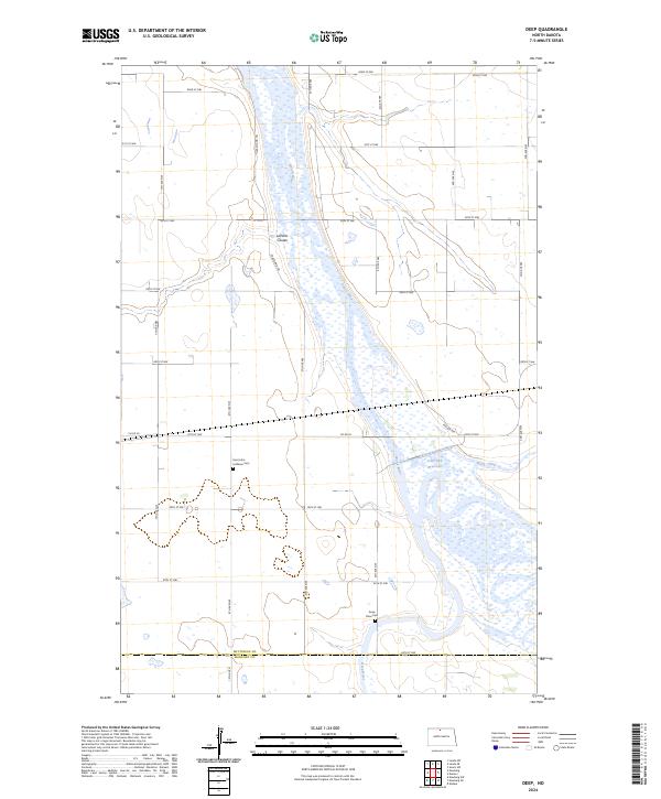
1950 Deep
Bottineau County, ND
1950 Landa SW
Bottineau County, ND
1950 Renville
Bottineau County, ND
1950 Westhope SW
Bottineau County, ND
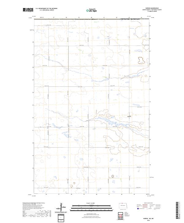
1951 Kuroki
Bottineau County, ND
1951 Westhope SE
Bottineau County, ND
1954 Landa SE
Bottineau County, ND
1954 Omemee
Bottineau County, ND
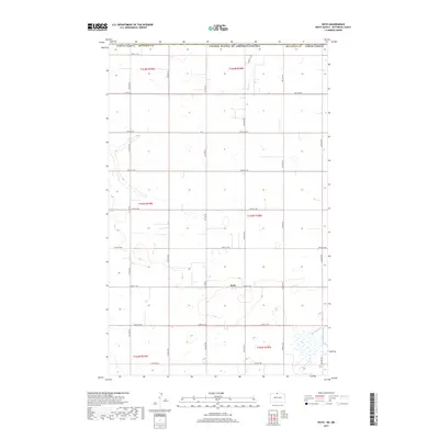
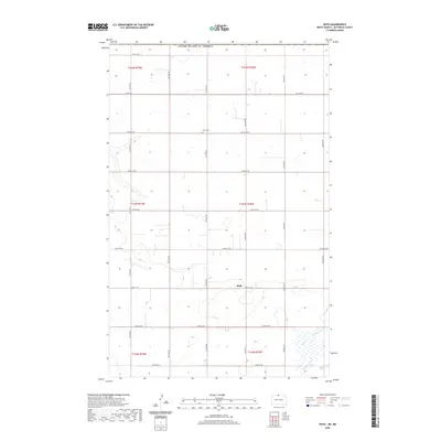
1954 Roth
Bottineau County, ND
1954 Souris SE
Bottineau County, ND
1954 Souris SW
Bottineau County, ND
1955 Bottineau SE
Bottineau County, ND
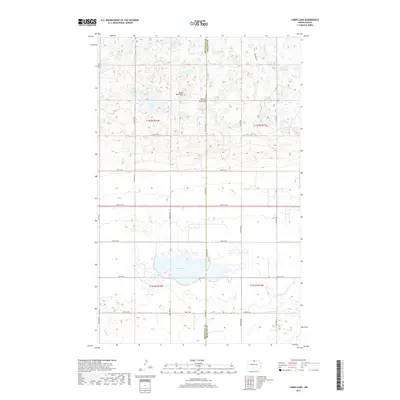
1955 Lords Lake
Bottineau County, ND
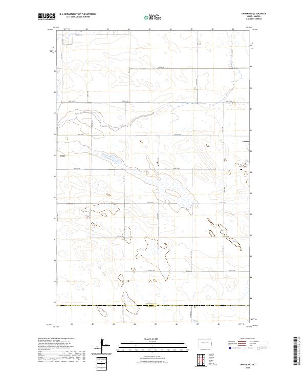
1955 Upham NE
Bottineau County, ND
1956 Carbury
Bottineau County, ND
1956 Lake McArthur
Bottineau County, ND
1956 Lords Lake
Bottineau County, ND
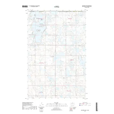
1956 Metigoshe Lake
Bottineau County, ND
1968 Boundary Lake
Bottineau County, ND
2011 Antler NW
Bottineau County, ND
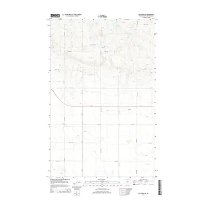
2011 Antler SW
Bottineau County, ND
2011 Bottineau SE
Bottineau County, ND
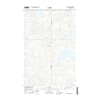
2011 Boundary Lake
Bottineau County, ND
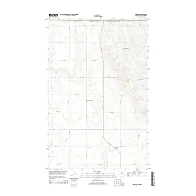
2011 Carbury
Bottineau County, ND
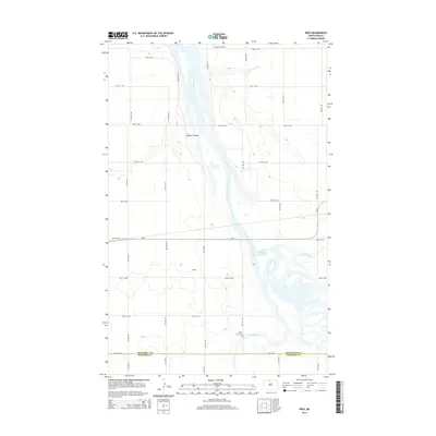
2011 Deep
Bottineau County, ND
2011 Eckman
Bottineau County, ND
2011 Kuroki
Bottineau County, ND
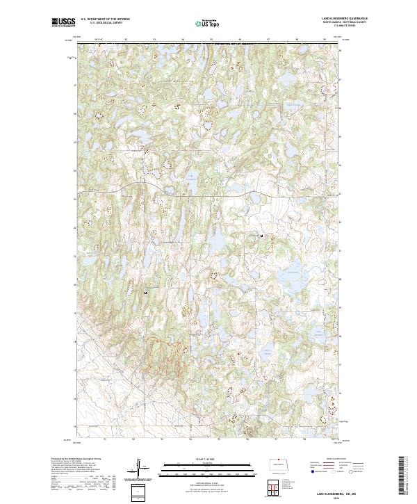
2011 Lake Klingenberg
Bottineau County, ND
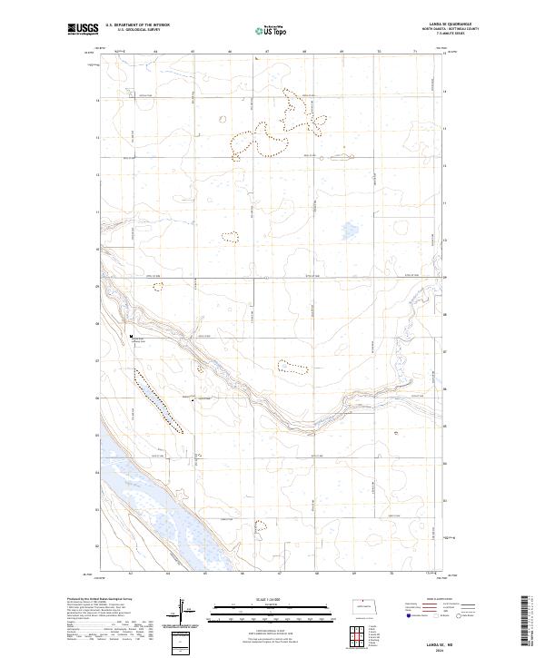
2011 Landa SE
Bottineau County, ND
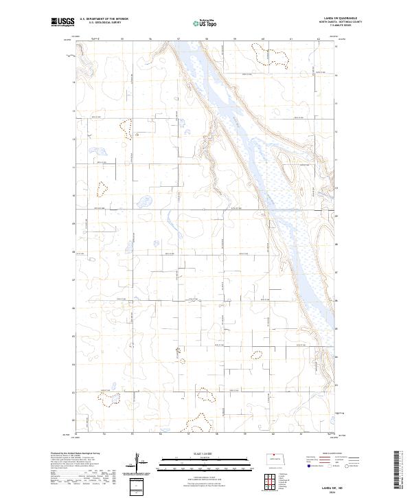
2011 Landa SW
Bottineau County, ND
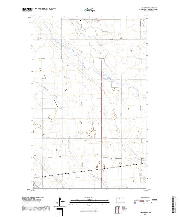
2011 Lansford NE
Bottineau County, ND
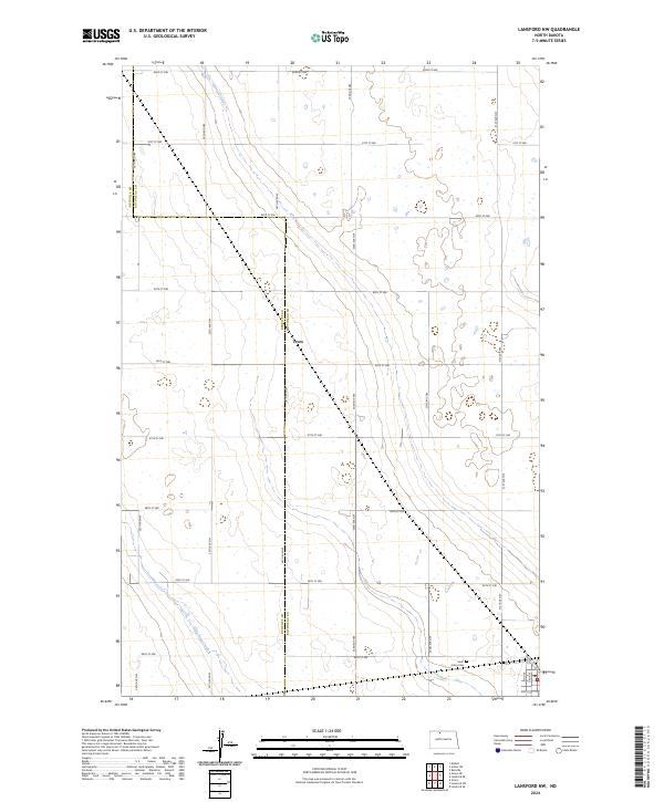
2011 Lansford NW
Bottineau County, ND
2011 Lansford SE
Bottineau County, ND
2011 Lords Lake
Bottineau County, ND
2011 Metigoshe Lake
Bottineau County, ND
2011 Omemee
Bottineau County, ND
2011 Renville
Bottineau County, ND
2011 Roth
Bottineau County, ND
2011 Souris SE
Bottineau County, ND
2011 Souris SW
Bottineau County, ND
2011 Upham NE
Bottineau County, ND
2011 Westhope SE
Bottineau County, ND
2011 Westhope SW
Bottineau County, ND
2014 Antler NW
Bottineau County, ND
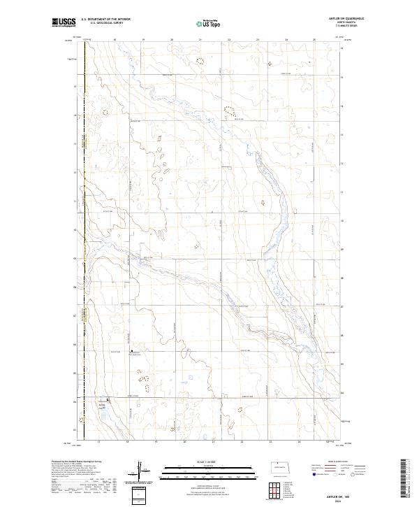
2014 Antler SW
Bottineau County, ND
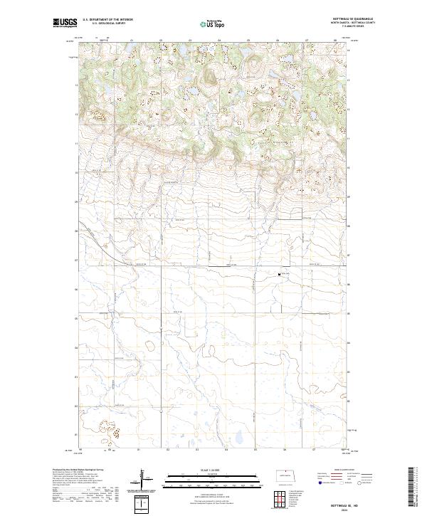
2014 Bottineau SE
Bottineau County, ND
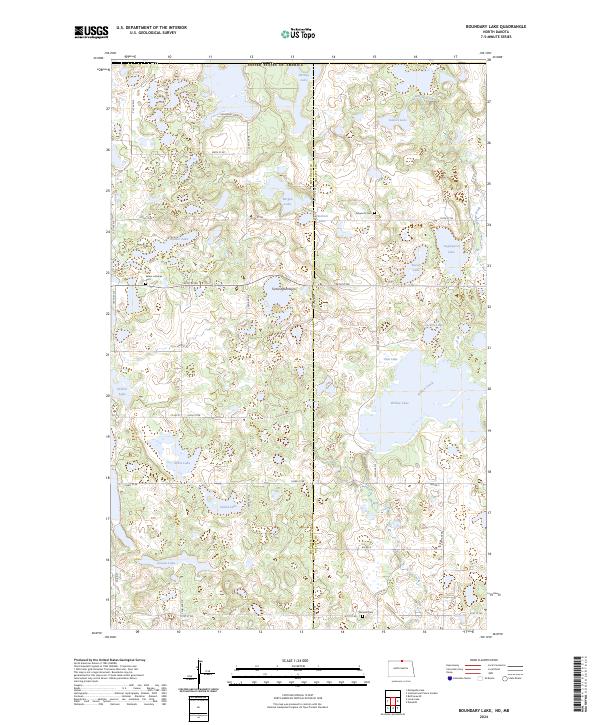
2014 Boundary Lake
Bottineau County, ND
2014 Carbury
Bottineau County, ND
2014 Deep
Bottineau County, ND
2014 Eckman
Bottineau County, ND
2014 Kuroki
Bottineau County, ND
2014 Lake Klingenberg
Bottineau County, ND
2014 Landa SE
Bottineau County, ND
2014 Landa SW
Bottineau County, ND
2014 Lansford NE
Bottineau County, ND
2014 Lansford NW
Bottineau County, ND
2014 Lansford SE
Bottineau County, ND
2014 Lords Lake
Bottineau County, ND
2014 Metigoshe Lake
Bottineau County, ND
2014 Omemee
Bottineau County, ND
2014 Renville
Bottineau County, ND
2014 Roth
Bottineau County, ND
2014 Souris SE
Bottineau County, ND
2014 Souris SW
Bottineau County, ND
2014 Upham NE
Bottineau County, ND
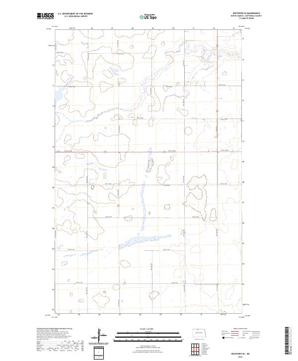
2014 Westhope SE
Bottineau County, ND
2014 Westhope SW
Bottineau County, ND
2017 Antler NW
Bottineau County, ND
2017 Antler SW
Bottineau County, ND
2017 Bottineau SE
Bottineau County, ND
2017 Boundary Lake
Bottineau County, ND
2017 Carbury
Bottineau County, ND
2017 Deep
Bottineau County, ND
2017 Eckman
Bottineau County, ND
2017 Kuroki
Bottineau County, ND
2017 Lake Klingenberg
Bottineau County, ND
2017 Landa SE
Bottineau County, ND
2017 Landa SW
Bottineau County, ND
2017 Lansford NE
Bottineau County, ND
2017 Lansford NW
Bottineau County, ND
2017 Lansford SE
Bottineau County, ND
2017 Lords Lake
Bottineau County, ND
2017 Metigoshe Lake
Bottineau County, ND
2017 Omemee
Bottineau County, ND
2017 Renville
Bottineau County, ND
2017 Roth
Bottineau County, ND
2017 Souris SE
Bottineau County, ND
2017 Souris SW
Bottineau County, ND
2017 Upham NE
Bottineau County, ND
2017 Westhope SE
Bottineau County, ND
2017 Westhope SW
Bottineau County, ND
2020 Antler NW
Bottineau County, ND
2020 Antler SW
Bottineau County, ND
2020 Bottineau SE
Bottineau County, ND
2020 Boundary Lake
Bottineau County, ND
2020 Carbury
Bottineau County, ND
2020 Deep
Bottineau County, ND
2020 Eckman
Bottineau County, ND
2020 Kuroki
Bottineau County, ND
2020 Lake Klingenberg
Bottineau County, ND
2020 Landa SE
Bottineau County, ND
2020 Landa SW
Bottineau County, ND
2020 Lansford NE
Bottineau County, ND
2020 Lansford NW
Bottineau County, ND
2020 Lansford SE
Bottineau County, ND
2020 Lords Lake
Bottineau County, ND
2020 Metigoshe Lake
Bottineau County, ND
2020 Omemee
Bottineau County, ND
2020 Renville
Bottineau County, ND
2020 Roth
Bottineau County, ND
2020 Souris SE
Bottineau County, ND
2020 Souris SW
Bottineau County, ND
2020 Upham NE
Bottineau County, ND
2020 Westhope SE
Bottineau County, ND
2020 Westhope SW
Bottineau County, ND
2023 Metigoshe Lake
Bottineau County, ND
2024 Antler NW
Bottineau County, ND
2024 Antler SW
Bottineau County, ND
2024 Bottineau SE
Bottineau County, ND
2024 Boundary Lake
Bottineau County, ND
2024 Carbury
Bottineau County, ND
2024 Deep
Bottineau County, ND
2024 Eckman
Bottineau County, ND
2024 Kuroki
Bottineau County, ND
2024 Lake Klingenberg
Bottineau County, ND
2024 Landa SE
Bottineau County, ND
2024 Landa SW
Bottineau County, ND
2024 Lansford NE
Bottineau County, ND
2024 Lansford NW
Bottineau County, ND
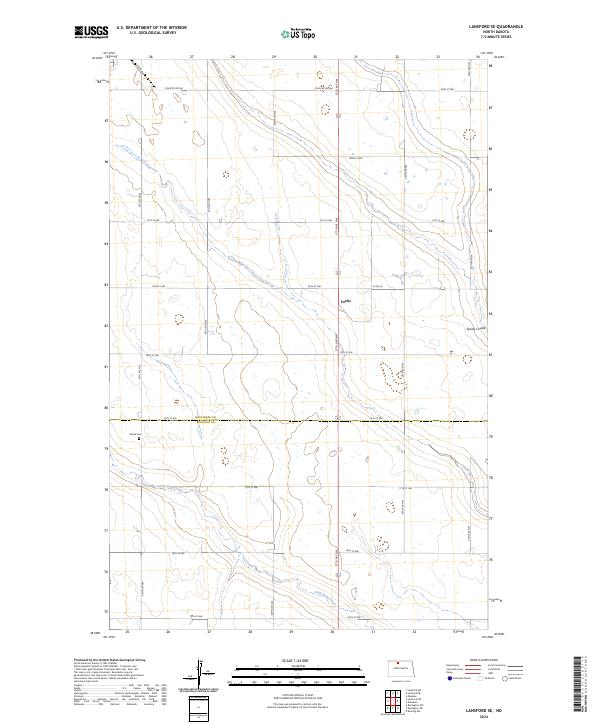
2024 Lansford SE
Bottineau County, ND
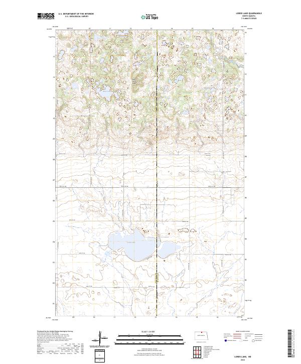
2024 Lords Lake
Bottineau County, ND
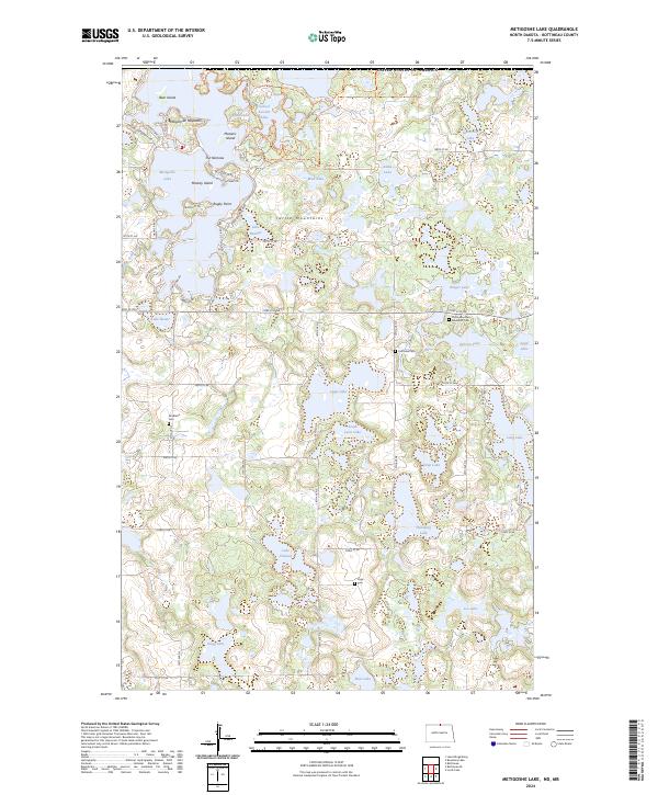
2024 Metigoshe Lake
Bottineau County, ND
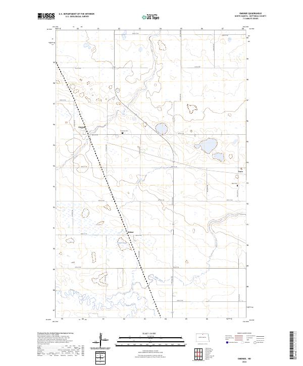
2024 Omemee
Bottineau County, ND
2024 Renville
Bottineau County, ND
2024 Roth
Bottineau County, ND
2024 Souris SE
Bottineau County, ND
2024 Souris SW
Bottineau County, ND
2024 Upham NE
Bottineau County, ND
2024 Westhope SE
Bottineau County, ND
2024 Westhope SW
Bottineau County, ND