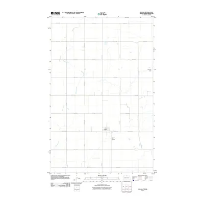
2011 Map of Souris
USGS Topo · Published 2011About this map
Souris serves as the central hub of this northern Bottineau County landscape, situated near the Canadian border just after the first decade of the 21st century. The town's grid is anchored by Central Ave and Hwy 14, providing a clear view of the town's modern layout and its proximity to agricultural surroundings. Just south of the main settlement lies Mountain View Cemetery, a significant point of interest for genealogists researching families from this part of North Dakota. The hydrology of the region is dominated by the winding path of Boundary Creek, which snakes through the western and northern sections of the quadrangle. The creek's flow is managed by infrastructure like the Boundary Creek 3 Dam, illustrating the essential role of water management in this prairie environment. A precise network of numbered section roads, including County Rd 6 NE and 109th St NW, defines the rural expanse beyond the town limits.
Find a feature on this map
29 named features on this map. Tap any name to fly to it.
Don’t see what you’re looking for? This feature index may not catch every label — zoom into the map to look around manually.
Map Details
Editions of this 2011 Souris Map
This is the sole edition of this map. No revisions or reprints were ever made.
Other maps of this area

1954 · Souris SW
USGS Topo · 1:24,000

1954 · Landa SE
USGS Topo · 1:24,000

1954 · Souris
USGS Topo · 1:24,000

1954 · Souris SE
USGS Topo · 1:24,000

1954 · Roth
USGS Topo · 1:24,000

1954 · Minot
USGS Topo · 1:250,000

1956 · Carbury
USGS Topo · 1:24,000

1958 · Minot
USGS Topo · 1:250,000

1980 · Bottineau
USGS Topo · 1:100,000
2011 · Carbury
USGS Topo · 1:24,000