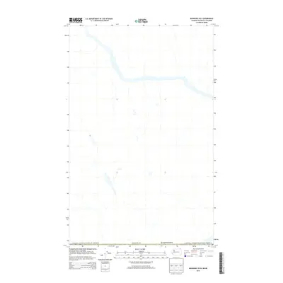
2014 Map of Boundary OE N
USGS Topo · Published 2014About this map
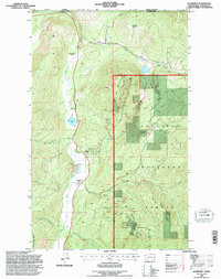
The international border between the Canada / United States of America and the northern reaches of Washington state defines this specific 2014 topographic study. Situated along the boundary of Stevens Co, the terrain is dominated by the winding path of a major river system and its various tributaries that cross back and forth across the 49th parallel. This map provides a specialized focus on the hydrography and jurisdictional boundaries of the region, illustrating how the natural landscape interacts with political lines in a remote corner of the Pacific Northwest. While the map is sparse on man-made structures, it clearly delineates the administrative separation between the United States and British Columbia, making it an essential reference for understanding the geography of the cross-border interior.
Find a feature on this map
3 named features on this map. Tap any name to fly to it.
Don’t see what you’re looking for? This feature index may not catch every label — zoom into the map to look around manually.
Map Details
Editions of this 2014 Boundary OE N Map
This is the sole edition of this map. No revisions or reprints were ever made.
Other maps of this area

1929 · Colville
USGS Topo · 1:125,000

1933 · Colville
USGS Topo · 1:125,000

1952 · Leadpoint
USGS Topo · 1:24,000

1952 · Boundary
USGS Topo · 1:24,000

1958 · Sandpoint
USGS Topo · 1:250,000

1963 · Sandpoint
USGS Topo · 1:250,000
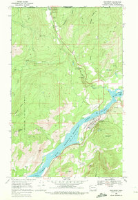
1969 · Northport
USGS Topo · 1:24,000
1984 · Colville
USGS Topo · 1:100,000
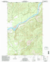
1992 · Boundary
USGS Topo · 1:24,000
1992 · Leadpoint
USGS Topo · 1:24,000