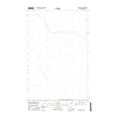
2017 Map of Boundary OE N
USGS Topo · Published 2017About this map
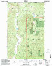
The international border between the United States of America and Canada serves as the primary focal point of this 2017 survey. This particular quadrangle captures the complex terrain north of the boundary line in the British Columbia interior, where the landscape is defined by unnamed peaks and the drainage patterns of the Kootenay Boundary region. The data, compiled from recent sources including the 2016 National Aerial Imagery Program, reveals the sparse infrastructure and the natural state of this cross-border wilderness. Topographic contours and hydrographic data reflect a high-altitude environment where human settlement is absent, highlighting the geographical isolation of the northern reaches of the United States/Canada frontier.
Find a feature on this map
1 named feature on this map. Tap any name to fly to it.
Don’t see what you’re looking for? This feature index may not catch every label — zoom into the map to look around manually.
Map Details
Editions of this 2017 Boundary OE N Map
This is the sole edition of this map. No revisions or reprints were ever made.
Other maps of this area

1929 · Colville
USGS Topo · 1:125,000

1933 · Colville
USGS Topo · 1:125,000

1952 · Leadpoint
USGS Topo · 1:24,000

1952 · Boundary
USGS Topo · 1:24,000

1958 · Sandpoint
USGS Topo · 1:250,000

1963 · Sandpoint
USGS Topo · 1:250,000
1969 · Northport
USGS Topo · 1:24,000
1984 · Colville
USGS Topo · 1:100,000
1992 · Boundary
USGS Topo · 1:24,000
1992 · Leadpoint
USGS Topo · 1:24,000