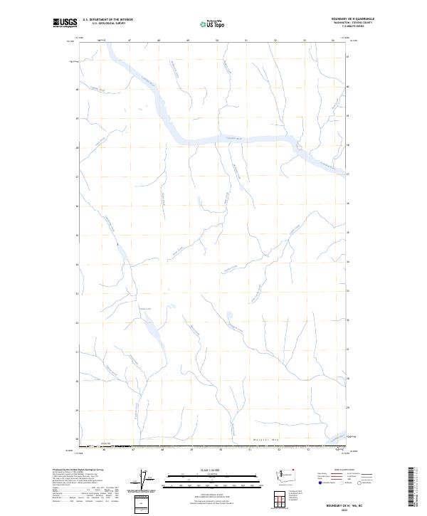
2023 Map of Boundary OE N
USGS Topo · Published 2023About this map
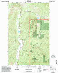
The Columbia River dominates this northern stretch of Stevens County, carving a wide path through a landscape defined by sharp elevation changes and numerous tributary drainages. High points like Moraski Mtn and Simons Mtn anchor the southern boundary, while the interior is etched by a complex web of waterways including Ryan Creek, Casino Creek, and Sheppard Creek. The drainage pattern is particularly intricate near Violin Lake, where Stussi Creek and Edgren Creek converge, illustrating the hydrological significance of this borderland region. In the northern reaches, smaller flows such as McQuarrie Creek and Randall Creek feed directly into the Columbia, showing the persistent role of the river as the primary basin for the surrounding mountains. This 2023 survey documents the topography of the Washington-British Columbia boundary area, focusing on natural features rather than concentrated settlements.
Find a feature on this map
20 named features on this map. Tap any name to fly to it.
Don’t see what you’re looking for? This feature index may not catch every label — zoom into the map to look around manually.
Map Details
Editions of this 2023 Boundary OE N Map
This is the sole edition of this map. No revisions or reprints were ever made.
Other maps of this area

1929 · Colville
USGS Topo · 1:125,000

1933 · Colville
USGS Topo · 1:125,000

1952 · Leadpoint
USGS Topo · 1:24,000

1952 · Boundary
USGS Topo · 1:24,000

1958 · Sandpoint
USGS Topo · 1:250,000

1963 · Sandpoint
USGS Topo · 1:250,000
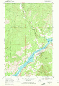
1969 · Northport
USGS Topo · 1:24,000
1984 · Colville
USGS Topo · 1:100,000
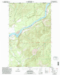
1992 · Boundary
USGS Topo · 1:24,000
1992 · Leadpoint
USGS Topo · 1:24,000