
2024 Map of Boundary Peak
USGS Topo · Published 2024About this map
Clearwater National Forest dominates this high-altitude landscape, where the historic Lolo Trl traverses the northern ridges near Windy Saddle. This terrain is defined by a dense network of mountain drainages, including Eldorado Creek, Fish Creek, and Canyon Creek, which carve deep valleys between prominent landmarks like Mex Mtn and Boundary Peak. The map reveals a complex system of forestry roads, such as Smith Creek Rd and Dead Man Rd, which provide access to the high meadows and summits. A concentration of grazing or conservation activity is suggested by Fish Creek Meadows in the central portion of the quadrangle. To the south, topographic high points such as Frenchman Butte and Cedar Knob overlook the watershed, reflecting the area's role as a protected wilderness and managed timber resource.
Find a feature on this map
42 named features on this map. Tap any name to fly to it.
Don’t see what you’re looking for? This feature index may not catch every label — zoom into the map to look around manually.
Map Details
Editions of this 2024 Boundary Peak Map
This is the sole edition of this map. No revisions or reprints were ever made.
Other maps of this area

1911 · Lolo
USGS Topo · 1:250,000

1913 · Lolo
USGS Topo · 1:250,000

1924 · Weippe
USGS Topo · 1:125,000

1956 · Hamilton
USGS Topo · 1:250,000

1959 · Hamilton
USGS Topo · 1:250,000

1960 · Hamilton
USGS Topo · 1:250,000

1964 · Hamilton
USGS Topo · 1:250,000
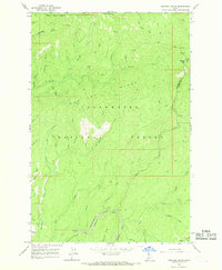
1966 · Hemlock Butte
USGS Topo · 1:24,000

1966 · Lowell
USGS Topo · 1:24,000
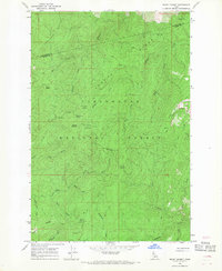
1966 · Snowy Summit
USGS Topo · 1:24,000