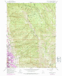
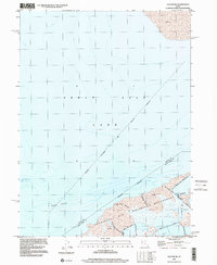
1952 Map of Bountiful Peak
USGS Topo · Published 1993About this map
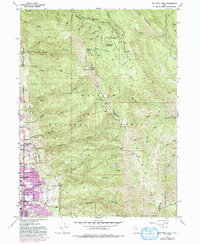
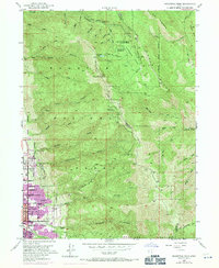
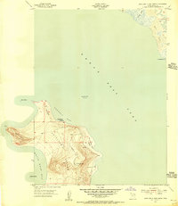
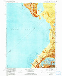
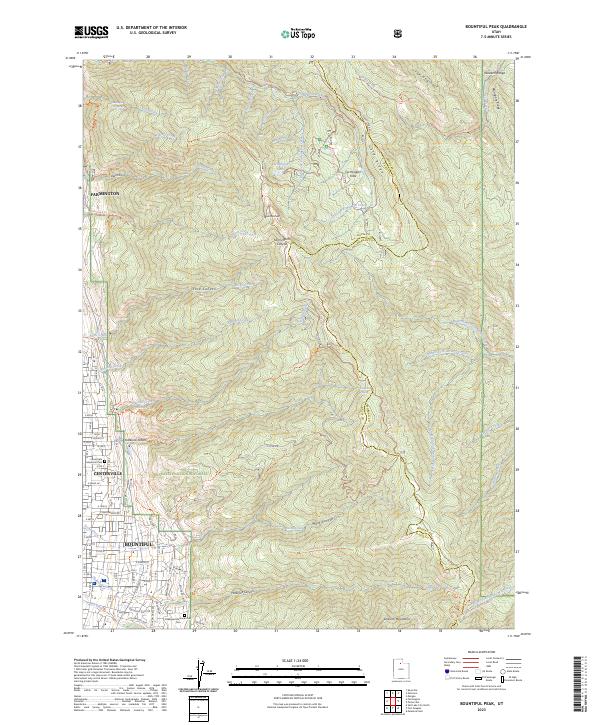
The high peaks of the Wasatch Range dominate this mid-century survey, showing the steep ascent from the valley floor settlements of Bountiful and Centerville up to the crest of the Sessions Mountains. In the lower elevations, the suburban expansion of the 1960s and 70s is captured in purple revisions, contrasting with the established grid and institutional anchors like Bountiful High School.
Find a feature on this map
56 named features on this map. Tap any name to fly to it.
Don’t see what you’re looking for? This feature index may not catch every label — zoom into the map to look around manually.
Map Details
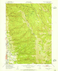
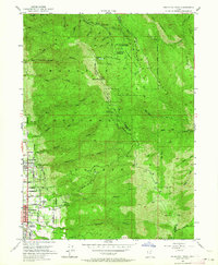
Editions of this 1952 Bountiful Peak Map
5 editions found
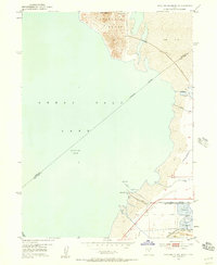
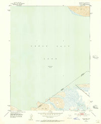
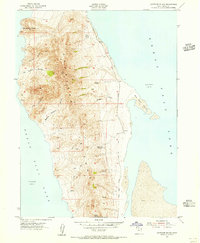
Historical Maps of Bountiful Through Time
25 maps found
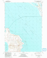
1952 Antelope Island South
Davis County, UT
1952 Bountiful Peak
Davis County, UT
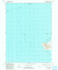
1952 Saltair NE
Davis County, UT
1954 Antelope Island
Davis County, UT
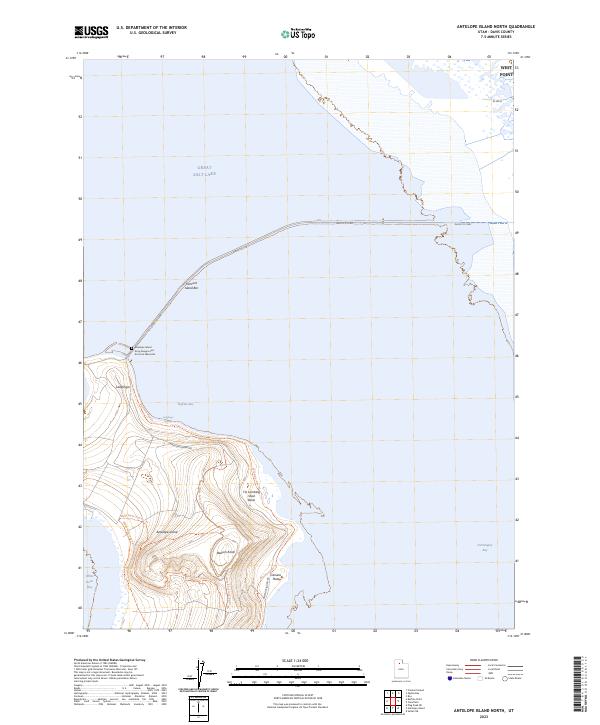
1954 Antelope Island North
Davis County, UT
1968 Fremont Island SW
Davis County, UT
1972 Antelope Island
Davis County, UT
1972 Antelope Island North
Davis County, UT
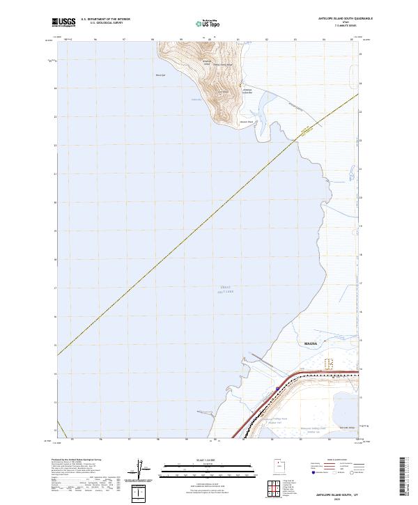
1972 Antelope Island South
Davis County, UT
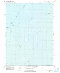
1972 Buffalo Point
Davis County, UT
1972 Plug Peak NE
Davis County, UT
1972 Saltair NE
Davis County, UT
1991 Antelope Island North
Davis County, UT
1991 Buffalo Point
Davis County, UT
1991 Fremont Island SW
Davis County, UT
1997 Saltair NE
Davis County, UT
1998 Bountiful Peak
Davis County, UT

2023 Antelope Island
Davis County, UT
2023 Antelope Island North
Davis County, UT
2023 Antelope Island South
Davis County, UT
2023 Bountiful Peak
Davis County, UT
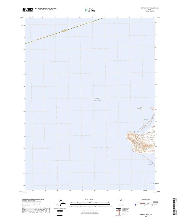
2023 Buffalo Point
Davis County, UT
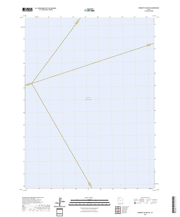
2023 Fremont Island SW
Davis County, UT
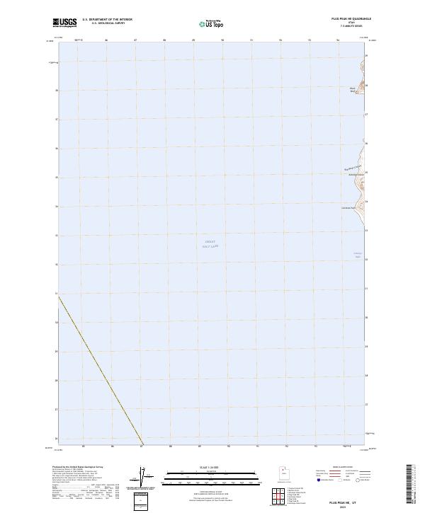
2023 Plug Peak NE
Davis County, UT
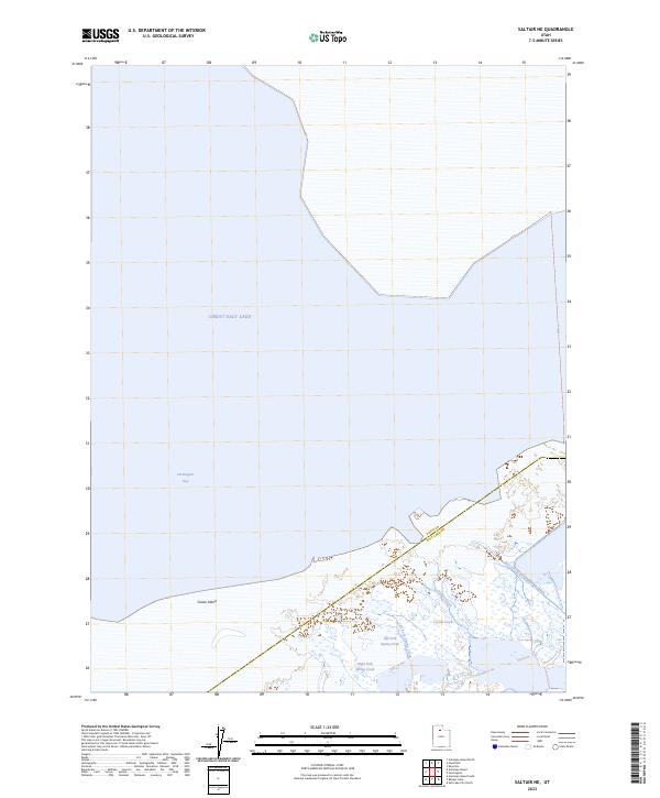
2023 Saltair NE
Davis County, UT