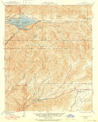
1937 Map of Bouquet Reservoir
USGS Topo · Published 1951About this map
Bouquet Reservoir dominates the northern reaches of this territory, held back by a dam near Bouquet Road and an Overflow Well. The landscape is a mix of high-altitude ranching and mountainous forestry, where names like Biddison Ranch and Circle BB Ranch speak to the area's agricultural history. To the south, the terrain descends into the Sierra Pelona Valley, where the Agua Dulce Community Church and the settlement of White Heather provide anchor points for early 20th-century community life.
Find a feature on this map
42 named features on this map. Tap any name to fly to it.
Don’t see what you’re looking for? This feature index may not catch every label — zoom into the map to look around manually.
Map Details
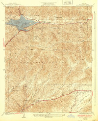
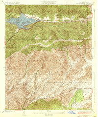
Editions of this 1937 Bouquet Reservoir Map
3 editions found
Other maps of this area

1900 · Fernando
USGS Topo · 1:62,500

1901 · Southern California Sheet No. 1
USGS Topo · 1:250,000

1904 · Southern California Sheet No. 1
USGS Topo · 1:250,000

1915 · Elizabeth Lake
USGS Topo · 1:125,000

1917 · Elizabeth Lake
USGS Topo · 1:125,000

1929 · Lang
USGS Topo · 1:24,000

1930 · Ravenna
USGS Topo · 1:24,000

1931 · Del Sur
USGS Topo · 1:24,000
1932 · La Brun
USGS Topo · 1:24,000

1932 · Red Rover
USGS Topo · 1:24,000