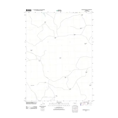
2011 Map of Bourquim Hill
USGS Topo · Published 2011About this map
Velma anchors the southern reaches of this landscape, where the Nebraska Sandhills topography is defined by a complex network of named basins and depressions. The distribution of these valleys, including Whaley Valley, Benscoter Valley, and Cranford Valley, suggests a land use pattern heavily reliant on the protective terrain of the lowlands. Near the southwestern corner, Bourquim Hill rises as a prominent landmark above the surrounding flats.
Find a feature on this map
19 named features on this map. Tap any name to fly to it.
Don’t see what you’re looking for? This feature index may not catch every label — zoom into the map to look around manually.
Map Details
Editions of this 2011 Bourquim Hill Map
This is the sole edition of this map. No revisions or reprints were ever made.
Other maps of this area

1948 · George Lake
USGS Topo · 1:62,500

1949 · Rackett
USGS Topo · 1:62,500

1950 · Velma
USGS Topo · 1:62,500

1950 · George Lake
USGS Topo · 1:62,500

1950 · Longfellow Lake
USGS Topo · 1:62,500

1951 · Rackett
USGS Topo · 1:62,500

1954 · Scottsbluff
USGS Topo · 1:250,000

1954 · North Platte
USGS Topo · 1:250,000

1956 · North Platte
USGS Topo · 1:250,000

1957 · North Platte
USGS Topo · 1:250,000