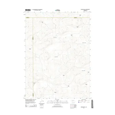
2014 Map of Bourquim Hill
USGS Topo · Published 2014About this map
Velma serves as the primary named settlement in this corner of the Nebraska Sandhills, situated where the borders of Garden, Arthur, and Grant counties converge. The landscape is defined by a complex network of topographic depressions and family-named landmarks, most notably Bourquim Hill and its surrounding drainages. The map reveals a pattern of rural land use where distinct geographic basins are identified by surnames, such as Dunlap Valley, Benscoter Valley, and Stinsman Valley. These labels reflect the historic ranching and homesteading families who settled this area of western Nebraska. The topography is characterized by the rolling, grass-covered dunes typical of the region, with names like Casey Valley and Doherty Valley providing specific reference points for local history and genealogical research in this sparsely populated cattle country.
Find a feature on this map
18 named features on this map. Tap any name to fly to it.
Don’t see what you’re looking for? This feature index may not catch every label — zoom into the map to look around manually.
Map Details
Editions of this 2014 Bourquim Hill Map
This is the sole edition of this map. No revisions or reprints were ever made.
Other maps of this area

1948 · George Lake
USGS Topo · 1:62,500

1949 · Rackett
USGS Topo · 1:62,500

1950 · Velma
USGS Topo · 1:62,500

1950 · George Lake
USGS Topo · 1:62,500

1950 · Longfellow Lake
USGS Topo · 1:62,500

1951 · Rackett
USGS Topo · 1:62,500

1954 · Scottsbluff
USGS Topo · 1:250,000

1954 · North Platte
USGS Topo · 1:250,000

1956 · North Platte
USGS Topo · 1:250,000

1957 · North Platte
USGS Topo · 1:250,000