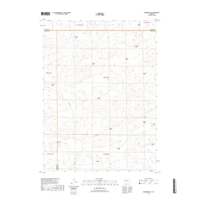
2017 Map of Bourquim Hill
USGS Topo · Published 2017About this map
Velma sits at the southern edge of this landscape, where the borders of Arthur, Garden, and Grant counties converge. The terrain is defined by a repetitive pattern of interdunal valleys characteristic of the Nebraska Sandhills. These low-lying areas, such as Dunlap Valley, Cochran Valley, and Houder Valley, provided the necessary flat ground for early ranching operations and isolated homesteads. Named landmarks like Bourquim Hill and Stinsman Valley reflect the local lineage of the families who settled this challenging environment. The road network remains sparse, consisting primarily of tracks like Sillassen Rd and Carlhola Dr that follow the natural contours of the valley floors, avoiding the high, shifting dunes that dominate the surrounding sections.
Find a feature on this map
28 named features on this map. Tap any name to fly to it.
Don’t see what you’re looking for? This feature index may not catch every label — zoom into the map to look around manually.
Map Details
Editions of this 2017 Bourquim Hill Map
This is the sole edition of this map. No revisions or reprints were ever made.
Other maps of this area

1948 · George Lake
USGS Topo · 1:62,500

1949 · Rackett
USGS Topo · 1:62,500

1950 · Velma
USGS Topo · 1:62,500

1950 · George Lake
USGS Topo · 1:62,500

1950 · Longfellow Lake
USGS Topo · 1:62,500

1951 · Rackett
USGS Topo · 1:62,500

1954 · Scottsbluff
USGS Topo · 1:250,000

1954 · North Platte
USGS Topo · 1:250,000

1956 · North Platte
USGS Topo · 1:250,000

1957 · North Platte
USGS Topo · 1:250,000