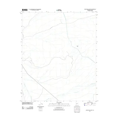
2011 Map of Bouse Hills West
USGS Topo · Published 2011About this map
Bouse Hills rise from the desert floor in this 2011 topographic study of La Paz County. The landscape is defined by the engineered path of the Central Arizona Project Aqueduct, which cuts a straight line across the arid terrain. This modern infrastructure contrasts with the natural drainage patterns of Cunningham Wash and Bouse Wash, ephemeral watercourses that reveal the local topography. Roadways like Grahams Well Rd and Swansea Rd provide access through the open country, tracing routes that suggest the area's history of ranching or mining transit. Researchers can use this map to understand how modern water management systems have been superimposed on the traditional landscape of western Arizona, following the utility of routes like Stagecoach Rd as they navigate the desert flats.
Find a feature on this map
7 named features on this map. Tap any name to fly to it.
Don’t see what you’re looking for? This feature index may not catch every label — zoom into the map to look around manually.
Map Details
Editions of this 2011 Bouse Hills West Map
This is the sole edition of this map. No revisions or reprints were ever made.
Other maps of this area

1911 · Parker
USGS Topo · 1:125,000

1923 · Signal
USGS Topo · 1:250,000

1930 · Linskey
USGS Topo · 1:62,500

1942 · Signal
USGS Topo · 1:250,000

1942 · Blythe
USGS Topo · 1:250,000

1942 · Vicksburg
USGS Topo · 1:250,000

1950 · Prescott
USGS Topo · 1:250,000

1954 · Salton Sea
USGS Topo · 1:250,000

1954 · Needles
USGS Topo · 1:250,000

1954 · Prescott
USGS Topo · 1:250,000