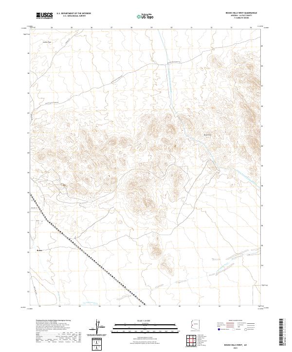
2021 Map of Bouse Hills West
USGS Topo · Published 2021About this map
Bouse sits at the southwestern edge of this desert landscape, where the historical pathways of Stage Coach Rd meet modern infrastructure. The terrain is defined by the stark transition from the open Cactus Plain in the northwest to the uplifted Bouse Hills in the east. This 2021 survey illustrates the critical role of water management in the Arizona desert, dominated by the massive corridor of the Central Arizona Project Aqueduct as it cuts across the northern and eastern sections of the quadrangle. Local drainage patterns are anchored by Cunningham Wash, which flows through the southern portion of the map. Traces of the area's travel history are visible in the routes of Swansea Rd and Butler Valley Ranch Rd, providing access through this arid environment.
Find a feature on this map
15 named features on this map. Tap any name to fly to it.
Don’t see what you’re looking for? This feature index may not catch every label — zoom into the map to look around manually.
Map Details
Editions of this 2021 Bouse Hills West Map
This is the sole edition of this map. No revisions or reprints were ever made.
Other maps of this area

1911 · Parker
USGS Topo · 1:125,000

1923 · Signal
USGS Topo · 1:250,000

1930 · Linskey
USGS Topo · 1:62,500

1942 · Signal
USGS Topo · 1:250,000

1942 · Blythe
USGS Topo · 1:250,000

1942 · Vicksburg
USGS Topo · 1:250,000

1950 · Prescott
USGS Topo · 1:250,000

1954 · Salton Sea
USGS Topo · 1:250,000

1954 · Needles
USGS Topo · 1:250,000

1954 · Prescott
USGS Topo · 1:250,000